e99 Online Shopping Mall

Geometry.Net - the online learning center Help  
Home  - Basic H - Historical Maps (Books)

  Back | 41-60 of 100 | Next 20
A  B  C  D  E  F  G  H  I  J  K  L  M  N  O  P  Q  R  S  T  U  V  W  X  Y  Z  

click price to see details     click image to enlarge     click link to go to the store

$12.55
41. Historical Atlas of the Celtic
$7.00
42. The Palgrave Concise Historical
$21.03
43. Historical Atlas of Dublin
 
44. Guide to Historical Map Resources
 
45. Cassini Historical Map, London
$7.08
46. Bristol and Bath (Cassini Old
$8.00
47. Nottingham and Loughborough (Cassini
 
48. Astronomical Atlases, Maps &
 
49. Historical Map of Scotland
 
50. National Geographic Historical
$8.02
51. Alnwick and Morpeth (Cassini Popular
 
52. Connecticut Visitourist Map. Parkways,
 
53. Historical Map of Wales and Monmouth
 
$13.99
54. Roman and Mediaeval Bath (Historical
$26.99
55. Alphabetic Catalog of the Books,
 
56. Cassini Historical Map, London
 
57. The official National Survey maps:
 
58. Germany of Old: Historical Map
 
59. HISTORICAL MAPS ON FILE
60. Canals of Manchester (Historical

41. Historical Atlas of the Celtic World
by John Haywood
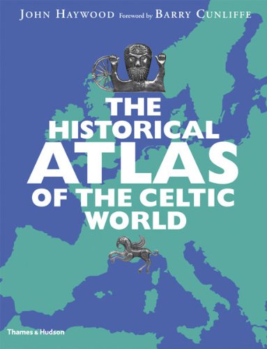
Paperback: 144 Pages (2009-11-02)
list price: US$24.95 -- used & new: US$12.55
(price subject to change: see help)
Asin: 0500288313
Canada | United Kingdom | Germany | France | Japan
Editorial Review

Product Description
“Well written, edited, and produced, this is just the book for a Celtophile to wile away the hours and the pints with.” —BooklistThrough fifty-four color maps, covering almost 3,000 years and spanning the whole of Europe, this atlas of the Celts charts their dramatic history from Bronze Age origins to present-day diaspora. Each map is accompanied by an authoritative text and supporting illustrations.

“Continental Celts” maps the Hallstatt and La Tène cultures in Central Europe; the migrations into Italy, Iberia, Greece, and Anatolia; the fate of Celtic culture under Roman rule; and the fortunes of the Bretons from the Dark Ages to their absorption by France. Beginning with Iron Age Britain and Ireland, “Atlantic Celts” covers the failure of the Romans to complete the conquest of the islands, the resurgence of Celtic civilization in the Dark Ages, the history of Gaelic Ireland, and the making of Scotland. “Modern Celts” examines the revival of Celtic identity, from the Celtomania of the eighteenth century through the growth of nationalism and the current state of Celtic culture. 180 color, 34 b&w illustrations ... Read more


42. The Palgrave Concise Historical Atlas of the Second World War
by Martin Folly
Paperback: 144 Pages (2005-01-01)
list price: US$19.95 -- used & new: US$7.00
(price subject to change: see help)
Asin: 1403902860
Average Customer Review: 3.0 out of 5 stars
Canada | United Kingdom | Germany | France | Japan
Editorial Review

Product Description
The Palgrave Concise Historical Atlas of World War II presents a com-pre-hensive overview on the military campaigns, major political develop-ments, frontier changes, inter-national conferences, and alliances of World War II, including chapters on the home fronts in the major participating nations and in occupied Europe and Asia. Chapters covering the military campaigns also focus on recent discoveries, in particular the role of signals intelligence and code-breaking. The result is an all-encompassing atlas examining every major aspect of the war. ... Read more

Customer Reviews (1)

3-0 out of 5 stars Good "Pint Size" Atlas
The author makes a good attempt of making a decent atlas but is handicapped with a small foot print. While this atlas has its good points, it can't compete with its larger brothers. The atlas does cover Europe, Africa, Russia, the Pacific. The maps are black and white with troop movements in green and black arrows. The author uses army or army group symbols; there isn't enough room to drill down to division or regiment levels. The troop movement arrows are not very precise as well. There aren't any terrain features but some cities are mentioned.
The atlas is accompanied by a running dialog which is brief but is good.
In an attempt to pack as much info into this book, the author sometimes includes two battles on one map. An example would be #40: The Bulge and the crossing of the Rhine. The many different arrows showing the two separate campaigns would be confusing for all but the most experienced.
For being small, this atlas is informative and helpful within limits but it just can't compete with the larger books. If you need something small, then you should consider this one. ... Read more


43. Historical Atlas of Dublin
by Richard Killeen
Hardcover: Pages (2009-11)
-- used & new: US$21.03
(price subject to change: see help)
Asin: 0717145956
Canada | United Kingdom | Germany | France | Japan
Editorial Review

Product Description
Dublin started as a Viking trading settlement in the middle of the tenth century. Location was the key to its quick ascendancy among Irish towns. It commanded the shortest crossing to a major port in Britain. By the time the Normans arrived in Ireland in the late twelfth century, this was crucial: Dublin maintained the best communications between the English crown and its new lordship in Ireland. The city first developed on the rising ground south of the river where Christ Church now is. The English established their principal citadel in this area, although Dublin Castle was later described by one disgruntled governor as 'the worst castle in the worst site in Christendom'. Throughout the medieval and early modern periods, the city's importance was entirely ecclesiastical and strategic. It was not a centre of learning, or fashion or commerce. The foundation of Trinity College in 1592 was a landmark event but the city did not really develop until the long peace of the eighteenth century. Then the series of fine, wide Georgian streets and noble public buildings that are Dublin's greatest boast were built.A semi-autonomous parliament of the Anglo-Irish colonial elite provided a focus for social life and the city flourished. This parliament dissolved itself in 1800 under the terms of the Act of Union and Ireland became a full part of the metropolitan British state, a situation not reversed until Irish independence in 1922 (Northern Ireland always excepted). The union years saw Dublin decline. Fine old houses were gradually abandoned by the aristocracy and became hideous tenement warrens. The city missed out on the Industrial Revolution. By the time Joyce immortalised it, it had become 'the centre of paralysis' in his famous phrase. Independence restored some of its natural function but there was still much poverty and shabbiness. The 1960s boom proved to be a false dawn. Only since the 1990s has there been real evidence of a city reinventing and revitalising itself. ... Read more


44. Guide to Historical Map Resources for Greater New York (Occasional publication)
by Jeffrey A. Kroessler
 Hardcover: 56 Pages (1988-06)
list price: US$11.95
Isbn: 0932757022
Canada | United Kingdom | Germany | France | Japan

45. Cassini Historical Map, London 1946-1948 (Rolled) (LON-NPO-R): Discover the Landscape of London's Past
by Cathy Ross, Francis Herbert
 Map: 1 Pages (2007-10-01)

Isbn: 1847362753
Canada | United Kingdom | Germany | France | Japan

46. Bristol and Bath (Cassini Old Series Historical Map)
Map: 1 Pages (2007-04-12)
list price: US$12.67 -- used & new: US$7.08
(price subject to change: see help)
Asin: 1847360793
Canada | United Kingdom | Germany | France | Japan

47. Nottingham and Loughborough (Cassini Popular Edition Historical Map)
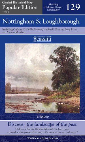
Map: 1 Pages (2007-04-26)
list price: US$12.62 -- used & new: US$8.00
(price subject to change: see help)
Asin: 1847361595
Canada | United Kingdom | Germany | France | Japan

48. Astronomical Atlases, Maps & Charts; An Historical & General Guide
by Basil Brown
 Hardcover: 200 Pages (1968-09)

Isbn: 0712901310
Canada | United Kingdom | Germany | France | Japan

49. Historical Map of Scotland
by L. G. Bullock
 Paperback: Pages (1992-06)
list price: US$11.95
Isbn: 0702828971
Canada | United Kingdom | Germany | France | Japan
Editorial Review

Product Description
Significant places and events in Scotland's history are illustrated on this map and the sites of cathedrals, abbeys, castles and battles are located. The map is decorated with the coat of arms of the main cities and towns, as well as principal Scottish family and clan chiefs. ... Read more


50. National Geographic Historical Japan (NG Country & Region Maps)
by National Geographic Society
 Paperback: Pages (1997-10)
list price: US$7.95
Isbn: 1572621664
Canada | United Kingdom | Germany | France | Japan

51. Alnwick and Morpeth (Cassini Popular Edition Historical Map)
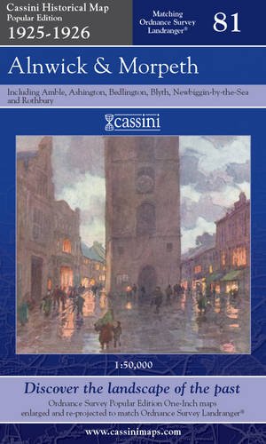
Map: 1 Pages (2007-05-30)
list price: US$12.62 -- used & new: US$8.02
(price subject to change: see help)
Asin: 1847362095
Canada | United Kingdom | Germany | France | Japan

52. Connecticut Visitourist Map. Parkways, highways, picnic grounds, historical shrines and principal points of interest - all at one glance! (Map title: Map of Connecticut).
by John F. (map drawn by). CONNECTICUT) Butler
 Unknown Binding: Pages (1935)

Asin: B00455S1TS
Canada | United Kingdom | Germany | France | Japan

53. Historical Map of Wales and Monmouth
by L. G. Bullock
 Paperback: Pages (1966)

Isbn: 0851525539
Canada | United Kingdom | Germany | France | Japan

54. Roman and Mediaeval Bath (Historical Map and Guide)
by Ordnance Survey
 Map: Pages (1989-12)
-- used & new: US$13.99
(price subject to change: see help)
Asin: 0319290220
Canada | United Kingdom | Germany | France | Japan
Editorial Review

Product Description
Historical Maps.Only two maps in this series, comprising Ancient Britain and Roman Britain.Produced in conjunction with the Royal Commissions on Historical Monuments for England, Scotland and Wales. ... Read more


55. Alphabetic Catalog of the Books, Manuscripts, Maps, Pictures and Curios of the Illinois State Historical Library: Authors, Titles and Subjects. 1900 (1900)
by Illinois State Historical Library
Paperback: 374 Pages (2009-07-08)
list price: US$26.99 -- used & new: US$26.99
(price subject to change: see help)
Asin: 111218354X
Canada | United Kingdom | Germany | France | Japan
Editorial Review

Product Description
Originally published in 1900.This volume from the Cornell University Library's print collections was scanned on an APT BookScan and converted to JPG 2000 format by Kirtas Technologies.All titles scanned cover to cover and pages may include marks notations and other marginalia present in the original volume. ... Read more


56. Cassini Historical Map, London 1919-1922 (Rolled) (LON-POP-R): Discover the Landscape of London's Past
by Cathy Ross, Francis Herbert
 Map: 1 Pages (2007-10-01)

Isbn: 1847362745
Canada | United Kingdom | Germany | France | Japan

57. The official National Survey maps: With descriptive and historical guide for all eastern states
by Lawton V Crocker
 Unknown Binding: Pages (1929)

Asin: B0008C5JOC
Canada | United Kingdom | Germany | France | Japan

58. Germany of Old: Historical Map
by John Bartholomew and Son
 Map: Pages (1973-08)

Isbn: 0851527132
Canada | United Kingdom | Germany | France | Japan

59. HISTORICAL MAPS ON FILE
by HOWARD M. (FACTS ON FILE, INC.) EPSTEIN
 Unknown Binding: Pages (1984)

Asin: B0041CV31I
Canada | United Kingdom | Germany | France | Japan

60. Canals of Manchester (Historical Canal Maps)
by Richard Dean
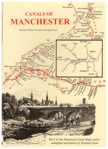
Map: Pages (2001-08-24)

Isbn: 0947712437
Canada | United Kingdom | Germany | France | Japan

  Back | 41-60 of 100 | Next 20
A  B  C  D  E  F  G  H  I  J  K  L  M  N  O  P  Q  R  S  T  U  V  W  X  Y  Z  

Prices listed on this site are subject to change without notice.
Questions on ordering or shipping? click here for help.

site stats