e99 Online Shopping Mall

Geometry.Net - the online learning center Help  
Home  - Basic L - Louisiana Maps (Books)

  Back | 21-40 of 108 | Next 20
A  B  C  D  E  F  G  H  I  J  K  L  M  N  O  P  Q  R  S  T  U  V  W  X  Y  Z  

click price to see details     click image to enlarge     click link to go to the store

 
21.
 
$179.52
22. Historical Atlas of Louisiana
$26.95
23. Family Maps of Red River Parish,
$4.95
24. Rand Mcnally Baton Rouge, Louisiana:
$4.95
25. Rand Mcnally Slidell / St. Tammany
 
26. Louisiana (EasyFinder)
$4.99
27. Lafayette LA Street Map
$35.95
28. Family Maps of Calcasieu Parish,
$3.95
29. Arkansas/Louisiana/Mississippi:
$31.95
30. Family Maps of Allen Parish, Louisiana,
$31.95
31. Family Maps of Grant Parish, Louisiana,
$31.95
32. Family Maps of Webster Parish,
 
33. National Geographic Map - Close-up:
$35.95
34. Family Maps of Winn Parish, Louisiana,
$31.95
35. Family Maps of Acadia Parish,
 
36. Deluxe Flip Map New Orleans, Louisiana:
$36.99
37. Raven Wall Map for the State of
 
38. MAP: 'Louisiana'...from Rand McNally's
$35.95
39. Family Maps of Union Parish, Louisiana,
 
40. Correlation of Lower Cretaceous

21.
 

Canada | United Kingdom | Germany | France | Japan

22. Historical Atlas of Louisiana
by Charles Robert Goins, John Michael Caldwell
 Hardcover: 1 Pages (1995-04)
list price: US$65.00 -- used & new: US$179.52
(price subject to change: see help)
Asin: 0806125896
Average Customer Review: 5.0 out of 5 stars
Canada | United Kingdom | Germany | France | Japan

Customer Reviews (1)

5-0 out of 5 stars from jacket
from inside jacket from inside jacket
The state of Louisiana brings special images to mind: Mardi Gras, the French quarter, plantations, Cajuns, Huey Long, moss laden live oaks, and water. This comprehensive, up-to-date atlas, with dozens of maps in color, summarizes the geography, history, and economics of Louisiana's uniquely Southern milieu, from ancient days to the present.
The Atlas highlights Louisiana's physical environment and natural resources, aboriginal setting and Native American tribes, European contacts and settlement, political development, population and urbanization, transportation, agriculture, industry and commerce, and cultural growth. Each of the 99 pages of maps Is accompanied by an essay describing and summarizing important geographic features or historical events. The Atlas also includes a full length introduction, gazetteer, references and an index.
... Read more


23. Family Maps of Red River Parish, Louisiana, Deluxe Edition
by Gregory A. Boyd
Paperback: 180 Pages (2010-07-16)
-- used & new: US$26.95
(price subject to change: see help)
Asin: 1420315250
Canada | United Kingdom | Germany | France | Japan
Editorial Review

Product Description
Locating original landowners in maps has never been an easy task--until now. This volume in the Family Maps series contains newly created maps of original landowners (patent maps) in what is now Red River Parish, Louisiana, gleaned from the indexes of the U.S. Bureau of Land Management. But it offers much more than that. For each township in the county, there are two additional maps accompanying the patent map: a road map and a map showing waterways, railroads, and both modern and many historical city-centers and cemeteries.

Included are indexes to help you locate what you are looking for, whether you know a person's name, a last name, a place-name, or a cemetery. The combination of maps and indexes are designed to aid researchers of American history or genealogy to explore frontier neighborhoods, examine family migrations, locate hard-to-find cemeteries and towns, as well as locate land based on legal descriptions found in old documents or deeds.

The patent-maps are essentially plat maps but instead of depicting owners for a particular year, these maps show original landowners, no matter when the transfer from the federal government was completed. Dates of patents typically begin near the time of statehood and run into the early 1900s.

This high-quality paperback book from the critically acclaimed Family Maps series measures 8-3/8" wide x 10-5/8" high. ... Read more


24. Rand Mcnally Baton Rouge, Louisiana: Baker, Denham Springs, Port Allen, Zachary
by Rand McNally and Company
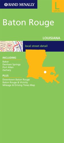
Map: Pages (2005-07-04)
list price: US$4.95 -- used & new: US$4.95
(price subject to change: see help)
Asin: 0528857428
Canada | United Kingdom | Germany | France | Japan

25. Rand Mcnally Slidell / St. Tammany Parish,Louisiana
by Rand McNally and Company
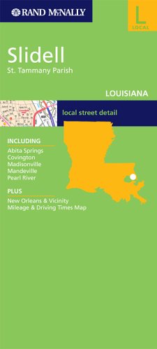
Map: Pages (2005-11-07)
list price: US$4.95 -- used & new: US$4.95
(price subject to change: see help)
Asin: 0528857126
Canada | United Kingdom | Germany | France | Japan

26. Louisiana (EasyFinder)
 Map: Pages (1997-11)

Isbn: 0528966669
Canada | United Kingdom | Germany | France | Japan

27. Lafayette LA Street Map
by American Map
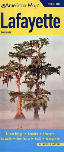
Map: 1 Pages (2008-12-10)
list price: US$4.99 -- used & new: US$4.99
(price subject to change: see help)
Asin: 0841611661
Canada | United Kingdom | Germany | France | Japan

28. Family Maps of Calcasieu Parish, Louisiana, Deluxe Edition
by Gregory A. Boyd
Paperback: 356 Pages (2010-07-16)
-- used & new: US$35.95
(price subject to change: see help)
Asin: 1420314300
Canada | United Kingdom | Germany | France | Japan
Editorial Review

Product Description
Locating original landowners in maps has never been an easy task--until now. This volume in the Family Maps series contains newly created maps of original landowners (patent maps) in what is now Calcasieu Parish, Louisiana, gleaned from the indexes of the U.S. Bureau of Land Management. But it offers much more than that. For each township in the county, there are two additional maps accompanying the patent map: a road map and a map showing waterways, railroads, and both modern and many historical city-centers and cemeteries.

Included are indexes to help you locate what you are looking for, whether you know a person's name, a last name, a place-name, or a cemetery. The combination of maps and indexes are designed to aid researchers of American history or genealogy to explore frontier neighborhoods, examine family migrations, locate hard-to-find cemeteries and towns, as well as locate land based on legal descriptions found in old documents or deeds.

The patent-maps are essentially plat maps but instead of depicting owners for a particular year, these maps show original landowners, no matter when the transfer from the federal government was completed. Dates of patents typically begin near the time of statehood and run into the early 1900s.

This high-quality paperback book from the critically acclaimed Family Maps series measures 8-3/8" wide x 10-5/8" high. ... Read more


29. Arkansas/Louisiana/Mississippi: State Map (Travel Vision)
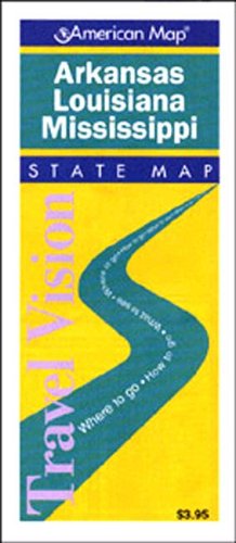
Map: Pages (1997-06)
list price: US$3.95 -- used & new: US$3.95
(price subject to change: see help)
Asin: 0841650535
Canada | United Kingdom | Germany | France | Japan
Editorial Review

Product Description
This Arkansas / Louisiana map features points of interest, airports, camping facilities, parks, selected local attractions and more. State maps feature insets of major cities. Our city map offers additional detail, with depiction of streets on one side and a large scale metro area road map on the other. ... Read more


30. Family Maps of Allen Parish, Louisiana, Deluxe Edition
by Gregory A. Boyd
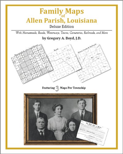
Paperback: 286 Pages (2010-07-16)
-- used & new: US$31.95
(price subject to change: see help)
Asin: 142031243X
Canada | United Kingdom | Germany | France | Japan
Editorial Review

Product Description
Locating original landowners in maps has never been an easy task--until now. This volume in the Family Maps series contains newly created maps of original landowners (patent maps) in what is now Allen Parish, Louisiana, gleaned from the indexes of the U.S. Bureau of Land Management. But it offers much more than that. For each township in the county, there are two additional maps accompanying the patent map: a road map and a map showing waterways, railroads, and both modern and many historical city-centers and cemeteries.

Included are indexes to help you locate what you are looking for, whether you know a person's name, a last name, a place-name, or a cemetery. The combination of maps and indexes are designed to aid researchers of American history or genealogy to explore frontier neighborhoods, examine family migrations, locate hard-to-find cemeteries and towns, as well as locate land based on legal descriptions found in old documents or deeds.

The patent-maps are essentially plat maps but instead of depicting owners for a particular year, these maps show original landowners, no matter when the transfer from the federal government was completed. Dates of patents typically begin near the time of statehood and run into the early 1900s.

This high-quality paperback book from the critically acclaimed Family Maps series measures 8-3/8" wide x 10-5/8" high. ... Read more


31. Family Maps of Grant Parish, Louisiana, Deluxe Edition
by Gregory A. Boyd
Paperback: 282 Pages (2010-07-16)
-- used & new: US$31.95
(price subject to change: see help)
Asin: 1420313452
Canada | United Kingdom | Germany | France | Japan
Editorial Review

Product Description
Locating original landowners in maps has never been an easy task--until now. This volume in the Family Maps series contains newly created maps of original landowners (patent maps) in what is now Grant Parish, Louisiana, gleaned from the indexes of the U.S. Bureau of Land Management. But it offers much more than that. For each township in the county, there are two additional maps accompanying the patent map: a road map and a map showing waterways, railroads, and both modern and many historical city-centers and cemeteries.

Included are indexes to help you locate what you are looking for, whether you know a person's name, a last name, a place-name, or a cemetery. The combination of maps and indexes are designed to aid researchers of American history or genealogy to explore frontier neighborhoods, examine family migrations, locate hard-to-find cemeteries and towns, as well as locate land based on legal descriptions found in old documents or deeds.

The patent-maps are essentially plat maps but instead of depicting owners for a particular year, these maps show original landowners, no matter when the transfer from the federal government was completed. Dates of patents typically begin near the time of statehood and run into the early 1900s.

This high-quality paperback book from the critically acclaimed Family Maps series measures 8-3/8" wide x 10-5/8" high. ... Read more


32. Family Maps of Webster Parish, Louisiana, Deluxe Edition
by Gregory A. Boyd
Paperback: 252 Pages (2010-07-16)
-- used & new: US$31.95
(price subject to change: see help)
Asin: 1420314661
Canada | United Kingdom | Germany | France | Japan
Editorial Review

Product Description
Locating original landowners in maps has never been an easy task--until now. This volume in the Family Maps series contains newly created maps of original landowners (patent maps) in what is now Webster Parish, Louisiana, gleaned from the indexes of the U.S. Bureau of Land Management. But it offers much more than that. For each township in the county, there are two additional maps accompanying the patent map: a road map and a map showing waterways, railroads, and both modern and many historical city-centers and cemeteries.

Included are indexes to help you locate what you are looking for, whether you know a person's name, a last name, a place-name, or a cemetery. The combination of maps and indexes are designed to aid researchers of American history or genealogy to explore frontier neighborhoods, examine family migrations, locate hard-to-find cemeteries and towns, as well as locate land based on legal descriptions found in old documents or deeds.

The patent-maps are essentially plat maps but instead of depicting owners for a particular year, these maps show original landowners, no matter when the transfer from the federal government was completed. Dates of patents typically begin near the time of statehood and run into the early 1900s.

This high-quality paperback book from the critically acclaimed Family Maps series measures 8-3/8" wide x 10-5/8" high. ... Read more


33. National Geographic Map - Close-up: U.S.A. - Arkansas, Oklahoma, Louisiana, Texas - 1974 (MAP ONLY)
by UNKNOWN
 Map: Pages (1974-01-01)

Asin: B003JQTJL8
Canada | United Kingdom | Germany | France | Japan

34. Family Maps of Winn Parish, Louisiana, Deluxe Edition
by Gregory A. Boyd
Paperback: 364 Pages (2010-07-16)
-- used & new: US$35.95
(price subject to change: see help)
Asin: 1420313460
Canada | United Kingdom | Germany | France | Japan
Editorial Review

Product Description
Locating original landowners in maps has never been an easy task--until now. This volume in the Family Maps series contains newly created maps of original landowners (patent maps) in what is now Winn Parish, Louisiana, gleaned from the indexes of the U.S. Bureau of Land Management. But it offers much more than that. For each township in the county, there are two additional maps accompanying the patent map: a road map and a map showing waterways, railroads, and both modern and many historical city-centers and cemeteries.

Included are indexes to help you locate what you are looking for, whether you know a person's name, a last name, a place-name, or a cemetery. The combination of maps and indexes are designed to aid researchers of American history or genealogy to explore frontier neighborhoods, examine family migrations, locate hard-to-find cemeteries and towns, as well as locate land based on legal descriptions found in old documents or deeds.

The patent-maps are essentially plat maps but instead of depicting owners for a particular year, these maps show original landowners, no matter when the transfer from the federal government was completed. Dates of patents typically begin near the time of statehood and run into the early 1900s.

This high-quality paperback book from the critically acclaimed Family Maps series measures 8-3/8" wide x 10-5/8" high. ... Read more


35. Family Maps of Acadia Parish, Louisiana, Deluxe Edition
by Gregory A. Boyd
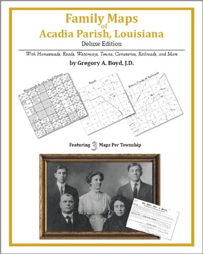
Paperback: 266 Pages (2010-07-16)
-- used & new: US$31.95
(price subject to change: see help)
Asin: 1420313827
Canada | United Kingdom | Germany | France | Japan
Editorial Review

Product Description
Locating original landowners in maps has never been an easy task--until now. This volume in the Family Maps series contains newly created maps of original landowners (patent maps) in what is now Acadia Parish, Louisiana, gleaned from the indexes of the U.S. Bureau of Land Management. But it offers much more than that. For each township in the county, there are two additional maps accompanying the patent map: a road map and a map showing waterways, railroads, and both modern and many historical city-centers and cemeteries.

Included are indexes to help you locate what you are looking for, whether you know a person's name, a last name, a place-name, or a cemetery. The combination of maps and indexes are designed to aid researchers of American history or genealogy to explore frontier neighborhoods, examine family migrations, locate hard-to-find cemeteries and towns, as well as locate land based on legal descriptions found in old documents or deeds.

The patent-maps are essentially plat maps but instead of depicting owners for a particular year, these maps show original landowners, no matter when the transfer from the federal government was completed. Dates of patents typically begin near the time of statehood and run into the early 1900s.

This high-quality paperback book from the critically acclaimed Family Maps series measures 8-3/8" wide x 10-5/8" high. ... Read more


36. Deluxe Flip Map New Orleans, Louisiana: Including central New Orleans map, Gretna, Harahan, ... Westwego
by Universal Map (Firm)
 Unknown Binding: Pages (1999)

Isbn: 0762512490
Canada | United Kingdom | Germany | France | Japan

37. Raven Wall Map for the State of Louisiana - Paper
by Raven Maps
Unknown Binding: Pages (2000)
-- used & new: US$36.99
(price subject to change: see help)
Asin: B003MXKQFQ
Canada | United Kingdom | Germany | France | Japan
Editorial Review

Product Description
Raven Wall Map For The State Of Louisiana (Paper). All Raven state wall maps display an incredible amount of detail, from cities, highways, and mountain ranges, to valleys, rivers, and small towns. The Louisiana map elevations are represented by color, and this, in combination with Raven's relief shading technique, gives the map a lush, 3-dimensional look.Size = 41 x 45 Inches ... Read more


38. MAP: 'Louisiana'...from Rand McNally's Dollar Atlas of the World
by Rand McNally
 Unbound: Pages (1916-01-01)

Asin: B000NKN3YW
Canada | United Kingdom | Germany | France | Japan

39. Family Maps of Union Parish, Louisiana, Deluxe Edition
by Gregory A. Boyd
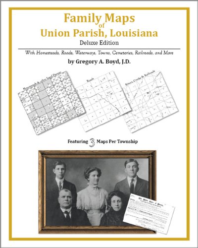
Paperback: 366 Pages (2010-07-16)
-- used & new: US$35.95
(price subject to change: see help)
Asin: 1420312782
Canada | United Kingdom | Germany | France | Japan
Editorial Review

Product Description
Locating original landowners in maps has never been an easy task--until now. This volume in the Family Maps series contains newly created maps of original landowners (patent maps) in what is now Union Parish, Louisiana, gleaned from the indexes of the U.S. Bureau of Land Management. But it offers much more than that. For each township in the county, there are two additional maps accompanying the patent map: a road map and a map showing waterways, railroads, and both modern and many historical city-centers and cemeteries.

Included are indexes to help you locate what you are looking for, whether you know a person's name, a last name, a place-name, or a cemetery. The combination of maps and indexes are designed to aid researchers of American history or genealogy to explore frontier neighborhoods, examine family migrations, locate hard-to-find cemeteries and towns, as well as locate land based on legal descriptions found in old documents or deeds.

The patent-maps are essentially plat maps but instead of depicting owners for a particular year, these maps show original landowners, no matter when the transfer from the federal government was completed. Dates of patents typically begin near the time of statehood and run into the early 1900s.

This high-quality paperback book from the critically acclaimed Family Maps series measures 8-3/8" wide x 10-5/8" high. ... Read more


40. Correlation of Lower Cretaceous Formations of the Coastal Plain of Texas, Louisiana, and Arkansas - USGS Map OC 3
by Ralph W. Imlay
 Map: Pages (1944-01-01)

Asin: B000SY6B6U
Canada | United Kingdom | Germany | France | Japan

  Back | 21-40 of 108 | Next 20
A  B  C  D  E  F  G  H  I  J  K  L  M  N  O  P  Q  R  S  T  U  V  W  X  Y  Z  

Prices listed on this site are subject to change without notice.
Questions on ordering or shipping? click here for help.

site stats