|
|
Help |
| Home - Basic M - Map Libraries (Books) | |
e99 Online Shopping Mall
|
|
Help |
| Home - Basic M - Map Libraries (Books) | |
| Back | 61-80 of 100 | Next 20 |
click price to see details click image to enlarge click link to go to the store
| 61. Mapping the Civil War: Featuring Rare Maps from the Library of Congress (Library of Congress Classics) by Christopher Nelson, Brian Pohanka | |
 | Hardcover: 176
Pages
(1992-10)
list price: US$39.95 -- used & new: US$6.92 (price subject to change: see help) Asin: 1563730014 Average Customer Review: Canada | United Kingdom | Germany | France | Japan |
Customer Reviews (3)
| |
| 62. What Is a Map? (Yellow Umbrella Books) by Weidenman, Lauren | |
 | Library Binding: 20
Pages
(2000-09-01)
list price: US$17.26 -- used & new: US$8.19 (price subject to change: see help) Asin: 073680742X Canada | United Kingdom | Germany | France | Japan |
|
Editorial Review Product Description | |
| 63. The Construction of Cognitive Maps (GeoJournal Library) | |
 | Paperback: 384
Pages
(2010-11-02)
list price: US$259.00 -- used & new: US$259.00 (price subject to change: see help) Asin: 9048146771 Canada | United Kingdom | Germany | France | Japan |
|
Editorial Review Product Description | |
| 64. Four Very Detailed LONDON MAPS 1863: All of London and Outlying Villages Such As Hampstead, Stratford, Merton and Beckenham, Slipcased (Stanfords Library Maps) by Edward Stanford | |
 | Map: 4
Pages
(2009-02-15)
list price: US$55.00 -- used & new: US$28.38 (price subject to change: see help) Asin: 1873590644 Canada | United Kingdom | Germany | France | Japan |
|
Editorial Review Product Description | |
| 65. Guide to U.S. Map Resources by Map and Geography Round Table (MAGERT) of the American Library Association | |
| Paperback: 520
Pages
(2005-11-28)
list price: US$90.20 -- used & new: US$72.59 (price subject to change: see help) Asin: 0810852683 Canada | United Kingdom | Germany | France | Japan | |
|
Editorial Review Product Description | |
| 66. Map Collections in the United States and Canada by David K. Carrington | |
| Paperback: 178
Pages
(1985-03)
list price: US$35.00 Isbn: 0871113066 Canada | United Kingdom | Germany | France | Japan | |
| 67. Maps for Empire First 2000 War Office by British Library | |
| Hardcover: 511
Pages
(1992-09)
list price: US$139.24 Isbn: 0712302727 Canada | United Kingdom | Germany | France | Japan | |
|
Editorial Review Product Description | |
| 68. From Circle to Sphere: Historic Maps Since Columbus : A Catalog of an Exhibition | |
| Paperback: 113
Pages
(1992-06)
list price: US$5.00 -- used & new: US$79.89 (price subject to change: see help) Asin: 0878110356 Canada | United Kingdom | Germany | France | Japan | |
| 69. Map collections in the United States and Canada;: A directory by Special Libraries Association | |
| Unknown Binding: 159
Pages
(1970)
Isbn: 087111190X Canada | United Kingdom | Germany | France | Japan | |
| 70. Visitors Rail Map Great Britain Ireland (Red Cover) | |
 | Map:
Pages
(2001-06)
Isbn: 1841571245 Canada | United Kingdom | Germany | France | Japan |
|
Editorial Review Product Description | |
| 71. Literary Maps for Young Adult Literature by Mary Ellen Snodgrass | |
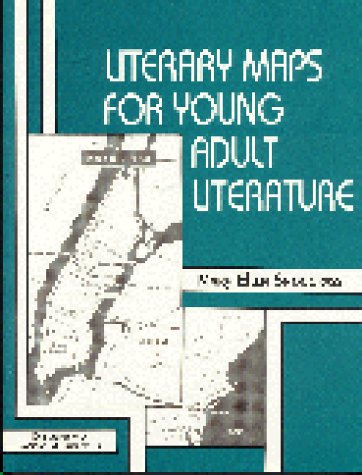 | Paperback: 223
Pages
(1995-01)
list price: US$34.50 -- used & new: US$10.98 (price subject to change: see help) Asin: 1563081644 Canada | United Kingdom | Germany | France | Japan |
|
Editorial Review Product Description | |
| 72. Guide to U.S. Map Resources | |
| Hardcover: 495
Pages
(1990-10)
list price: US$65.00 -- used & new: US$122.46 (price subject to change: see help) Asin: 0838905471 Canada | United Kingdom | Germany | France | Japan | |
| 73. The City in Maps: Urban Mapping to 1900 by James Elliot, British Library | |
| Paperback: 88
Pages
(1987-10)
list price: US$19.95 Isbn: 0712301348 Canada | United Kingdom | Germany | France | Japan | |
| 74. Map Keys (Turtleback School & Library Binding Edition) (Rookie Read-About Geography (Sagebrush)) by Rebecca Aberg | |
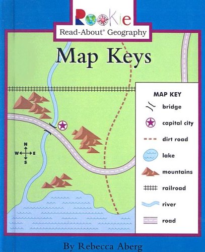 | School & Library Binding: 32
Pages
(2003-09-01)
list price: US$15.95 -- used & new: US$15.95 (price subject to change: see help) Asin: 0613679113 Average Customer Review: Canada | United Kingdom | Germany | France | Japan |
|
Editorial Review Product Description Customer Reviews (1)
| |
| 75. Map Librarianship: An Introduction by Mary Lynette Larsgaard | |
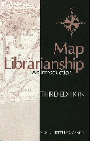 | Hardcover: 487
Pages
(1998-07-15)
list price: US$84.00 -- used & new: US$74.00 (price subject to change: see help) Asin: 1563084740 Average Customer Review: Canada | United Kingdom | Germany | France | Japan |
|
Editorial Review Product Description Customer Reviews (1)
| |
| 76. Looking At Maps And Globes (Turtleback School & Library Binding Edition) (Rookie Read-About Geography (Pb)) by Carmen Bredeson | |
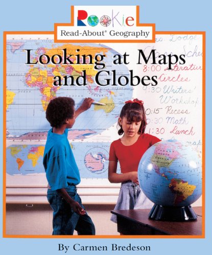 | School & Library Binding: 31
Pages
(2002-01-01)
list price: US$15.95 -- used & new: US$10.85 (price subject to change: see help) Asin: 0613542843 Average Customer Review: Canada | United Kingdom | Germany | France | Japan |
|
Editorial Review Product Description Customer Reviews (2)
| |
| 77. Maps and Symbols (Geography Starts Here) by Angela Royston | |
| Library Binding: 32
Pages
(1999-02)
list price: US$25.64 -- used & new: US$176.94 (price subject to change: see help) Asin: 0817251138 Canada | United Kingdom | Germany | France | Japan | |
|
Editorial Review Product Description | |
| 78. Topographic Maps: Topographic Maps (Mahaney, Ian F. Map It.) by Ian F. Mahaney | |
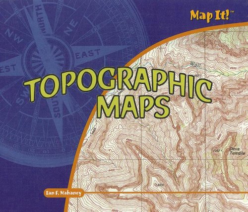 | Library Binding: 24
Pages
(2006-12-30)
list price: US$21.25 -- used & new: US$19.11 (price subject to change: see help) Asin: 140423053X Canada | United Kingdom | Germany | France | Japan |
|
Editorial Review Product Description | |
| 79. Me On The Map (Turtleback School & Library Binding Edition) (Reading Rainbow Readers (Pb)) by Joan Sweeney | |
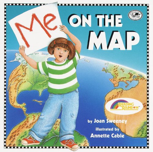 | School & Library Binding: 32
Pages
(1998-08-01)
list price: US$17.20 -- used & new: US$11.70 (price subject to change: see help) Asin: 0613099583 Average Customer Review: Canada | United Kingdom | Germany | France | Japan |
|
Editorial Review Product Description Customer Reviews (16)
| |
| 80. Treasure Map (Turtleback School & Library Binding Edition) (Mathstart Mapping: Level 3 (Prebound)) by Stuart J. Murphy | |
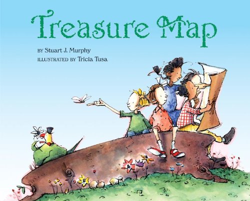 | Library Binding: 35
Pages
(2004-08-26)
list price: US$16.00 -- used & new: US$16.00 (price subject to change: see help) Asin: 1417702737 Average Customer Review: Canada | United Kingdom | Germany | France | Japan |
|
Editorial Review Product Description Customer Reviews (3)
| |
| Back | 61-80 of 100 | Next 20 |