|
|
Help |
| Home - Basic M - Maps Reference (Books) | |
e99 Online Shopping Mall
|
|
Help |
| Home - Basic M - Maps Reference (Books) | |
| Back | 61-80 of 100 | Next 20 |
click price to see details click image to enlarge click link to go to the store
| 61. Southern China Nelles Map by Nelles Verlag | |
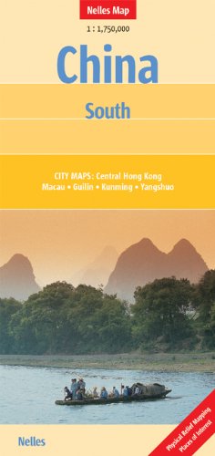 | Map: 2
Pages
(2010-04-01)
list price: US$11.95 -- used & new: US$9.56 (price subject to change: see help) Asin: 3865742165 Average Customer Review: Canada | United Kingdom | Germany | France | Japan |
|
Editorial Review Product Description Customer Reviews (1)
| |
| 62. Antarctic Explorer: Visitor's Map of the Antarctic Peninsula Region and Map of the Antarctic Continent (Ocean Explorer Maps) by Nigel Sitwell | |
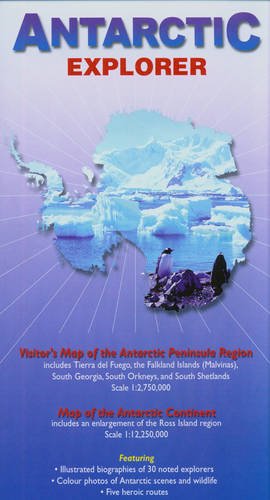 | Map: 2
Pages
(2009-01)
-- used & new: US$13.93 (price subject to change: see help) Asin: 0954371763 Average Customer Review: Canada | United Kingdom | Germany | France | Japan |
|
Editorial Review Product Description Customer Reviews (2)
| |
| 63. Mexico Wall Map (Laminated, Classic Style) by National Geographic Maps | |
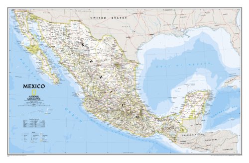 | Map: 1
Pages
(2010-08-01)
list price: US$19.99 -- used & new: US$17.79 (price subject to change: see help) Asin: 079225029X Average Customer Review: Canada | United Kingdom | Germany | France | Japan |
|
Editorial Review Product Description Customer Reviews (1)
| |
| 64. Laminated USA Interstate Map by Borch (English Edition) by Borch | |
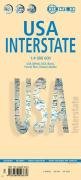 | Map: 2
Pages
(2008-12-17)
list price: US$9.95 -- used & new: US$6.45 (price subject to change: see help) Asin: 3866093675 Canada | United Kingdom | Germany | France | Japan |
|
Editorial Review Product Description | |
| 65. Rand McNally Kentucky State Map (State Maps-USA) by Rand | |
| Paperback:
Pages
(1999-05)
list price: US$3.95 Isbn: 0528974084 Canada | United Kingdom | Germany | France | Japan | |
| 66. Laminated Rome City Streets Map by Borch (English, German, Italian, French and Spanish) (English, Spanish, French, Italian and German Edition) by Borch | |
 | Map: 2
Pages
(2009-12-17)
list price: US$8.95 -- used & new: US$7.34 (price subject to change: see help) Asin: 3866093020 Average Customer Review: Canada | United Kingdom | Germany | France | Japan |
|
Editorial Review Product Description Customer Reviews (6)
| |
| 67. Central Asia by GiziMap (Firm) | |
 | Map: 2
Pages
(2001-01-26)
list price: US$8.95 -- used & new: US$4.48 (price subject to change: see help) Asin: 092959147X Canada | United Kingdom | Germany | France | Japan |
|
Editorial Review Product Description | |
| 68. Florence Berlitz PopOut Map (Berlitz PopOut Maps) by Berlitz | |
 | Map: 2
Pages
(2009-09-29)
-- used & new: US$3.91 (price subject to change: see help) Asin: 9812687378 Canada | United Kingdom | Germany | France | Japan |
|
Editorial Review Product Description | |
| 69. Rand McNally Quick Reference United States Atlas (Atlases - USA) by Rand McNally and Company | |
 | Paperback: 64
Pages
(1995-05)
list price: US$5.95 -- used & new: US$3.00 (price subject to change: see help) Asin: 0528837710 Canada | United Kingdom | Germany | France | Japan |
| 70. Laminated Tuscany Map by Borch (English Edition) by Borch | |
 | Map: 2
Pages
(2009-12-01)
list price: US$10.95 -- used & new: US$5.48 (price subject to change: see help) Asin: 3866093772 Canada | United Kingdom | Germany | France | Japan |
|
Editorial Review Product Description | |
| 71. Mallorca Laminated Travel Map by Borch (English Edition) by Borch | |
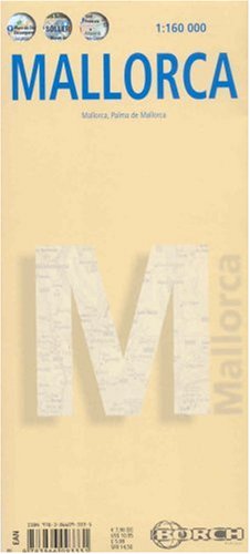 | Map: 2
Pages
(2007-02-01)
list price: US$11.95 -- used & new: US$9.28 (price subject to change: see help) Asin: 3866093330 Canada | United Kingdom | Germany | France | Japan |
|
Editorial Review Product Description | |
| 72. Ireland Driving Map (Irish - Maps, Atlases and Guides) by Ordnance Survey Ireland | |
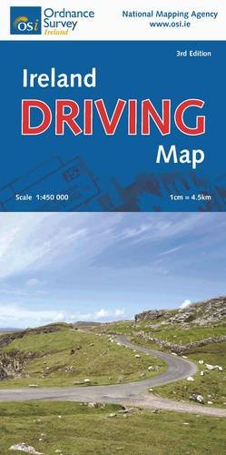 | Map:
Pages
(2009-03-30)
list price: US$10.26 -- used & new: US$14.99 (price subject to change: see help) Asin: 1905511558 Average Customer Review: Canada | United Kingdom | Germany | France | Japan |
Customer Reviews (1)
| |
| 73. Big London Street Atlas (London Street Atlases) by Geographers' A-Z Map Company | |
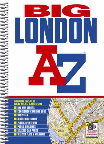 | Spiral-bound: 320
Pages
(2008-06-08)
list price: US$15.71 -- used & new: US$12.10 (price subject to change: see help) Asin: 1843485796 Average Customer Review: Canada | United Kingdom | Germany | France | Japan |
Customer Reviews (2)
| |
| 74. Sicily - Palermo: FB.L618 | |
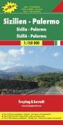 | Map: 1
Pages
(2008-02-08)
list price: US$10.95 -- used & new: US$10.29 (price subject to change: see help) Asin: 370790962X Canada | United Kingdom | Germany | France | Japan |
|
Editorial Review Product Description | |
| 75. Laminated Washington D.C. Map by Borch (English Edition) by Borch | |
 | Map: 2
Pages
(2009-06-19)
list price: US$8.95 -- used & new: US$7.17 (price subject to change: see help) Asin: 3866093691 Average Customer Review: Canada | United Kingdom | Germany | France | Japan |
|
Editorial Review Product Description Customer Reviews (2)
| |
| 76. Laminated Beijing Map by Borch (English, Spanish, French, Italian and German Edition) by Borch | |
 | Map: 2
Pages
(2009-06-19)
list price: US$8.95 -- used & new: US$7.28 (price subject to change: see help) Asin: 3866093438 Average Customer Review: Canada | United Kingdom | Germany | France | Japan |
|
Editorial Review Product Description Customer Reviews (4)
| |
| 77. Jamaica by International Travel maps | |
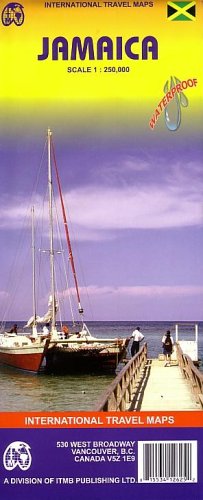 | Map: 2
Pages
(2006-01-01)
list price: US$10.95 -- used & new: US$8.19 (price subject to change: see help) Asin: 1553412621 Average Customer Review: Canada | United Kingdom | Germany | France | Japan |
|
Editorial Review Product Description Customer Reviews (2)
| |
| 78. Honduras Map (Travel Reference Map) by Hannes Krause, ITMB | |
| Map: 1
Pages
(2000-01-01)
Isbn: 0921463782 Canada | United Kingdom | Germany | France | Japan | |
|
Editorial Review Product Description Map of the country and portions of its neighbors with topographical contours and elevations indicated by color changes. Legend locates international borders; settlements from major cities to villages; roads from highways to secondary roads; railways; airports; harbors; points of interest; parks; beaches; tourist-oriented mining. Index of place names. | |
| 79. Laminated Bahamas Map by Borch (English Edition) by Borch | |
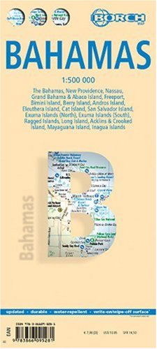 | Map: 2
Pages
(2009-12-20)
list price: US$10.95 -- used & new: US$5.48 (price subject to change: see help) Asin: 3866095287 Average Customer Review: Canada | United Kingdom | Germany | France | Japan |
|
Editorial Review Product Description Customer Reviews (3)
| |
| 80. Southern Argentina, Patagonia and Uruguay Nelles Map (English, French, Italian and German Edition) by Nelles Verlag | |
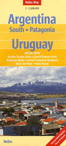 | Map: 2
Pages
(2010-03-26)
list price: US$11.95 -- used & new: US$10.17 (price subject to change: see help) Asin: 3865742025 Canada | United Kingdom | Germany | France | Japan |
|
Editorial Review Product Description | |
| Back | 61-80 of 100 | Next 20 |