|
|
Help |
| Home - Basic M - Michigan Maps (Books) | |
e99 Online Shopping Mall
|
|
Help |
| Home - Basic M - Michigan Maps (Books) | |
| Back | 61-80 of 100 | Next 20 |
click price to see details click image to enlarge click link to go to the store
| 61. Rand McNally Michigan State Map (State Maps-USA) by Rand McNally and Company | |
| Paperback:
Pages
(1996-01)
list price: US$3.95 -- used & new: US$1.80 (price subject to change: see help) Asin: 0528974041 Average Customer Review: Canada | United Kingdom | Germany | France | Japan | |
Customer Reviews (1)
| |
| 62. Family Maps of Lapeer County, Michigan, Deluxe Edition by Gregory A. Boyd | |
 | Paperback: 266
Pages
(2010-07-16)
-- used & new: US$31.95 (price subject to change: see help) Asin: 1420314513 Canada | United Kingdom | Germany | France | Japan |
|
Editorial Review Product Description | |
| 63. American Map Kalamazoo/ Battle Creek, Michigan Street Atlas | |
 | Paperback: 87
Pages
(2008-07-30)
list price: US$14.95 -- used & new: US$11.66 (price subject to change: see help) Asin: 0841609985 Canada | United Kingdom | Germany | France | Japan |
|
Editorial Review Product Description | |
| 64. Close-Up: USA Regional Map & Travel Planner Wisconsin, Michigan, the Great Lakes (Close-Up, USA) by National Geographic Society | |
 | Paperback:
Pages
(1998-07)
list price: US$7.95 -- used & new: US$10.00 (price subject to change: see help) Asin: 1572624213 Canada | United Kingdom | Germany | France | Japan |
| 65. South Suburban Detroit Michigan (American Map) | |
 | Map:
Pages
(2008-08-06)
list price: US$4.95 -- used & new: US$4.95 (price subject to change: see help) Asin: 0841628637 Canada | United Kingdom | Germany | France | Japan |
|
Editorial Review Product Description | |
| 66. Battle Creek Michigan (American Map) | |
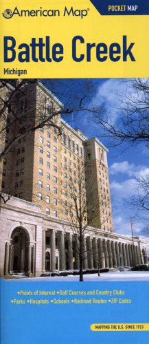 | Map:
Pages
(2008-08-06)
list price: US$4.95 -- used & new: US$4.95 (price subject to change: see help) Asin: 0841628696 Canada | United Kingdom | Germany | France | Japan |
|
Editorial Review Product Description | |
| 67. Upper Peninsula, Michigan, Road Map: Including Counties of Alger, Baraga, Chippewa, Delta ... Ontonogan & Schoolcraft: Featuring Campgrounds, Golf Cou | |
| Hardcover: 1
Pages
(2005-01)
Isbn: 0762543752 Canada | United Kingdom | Germany | France | Japan | |
| 68. Kalamazoo Michigan (American Map) | |
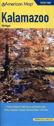 | Map:
Pages
(2008-08-06)
list price: US$4.95 -- used & new: US$4.95 (price subject to change: see help) Asin: 0841628815 Canada | United Kingdom | Germany | France | Japan |
|
Editorial Review Product Description | |
| 69. Rand McNally Michigan (State Maps-USA) by Rand McNally and Company | |
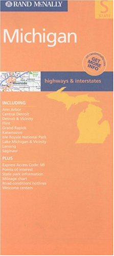 | Map:
Pages
(2002-06)
list price: US$4.95 -- used & new: US$80.25 (price subject to change: see help) Asin: 0528992996 Canada | United Kingdom | Germany | France | Japan |
|
Editorial Review Product Description | |
| 70. American Map Grand Rapids, Michigan | |
 | Map:
Pages
(2008-08-06)
list price: US$4.95 -- used & new: US$4.01 (price subject to change: see help) Asin: 0841628726 Canada | United Kingdom | Germany | France | Japan |
|
Editorial Review Product Description | |
| 71. Michigan State Folding Map by Universal Map | |
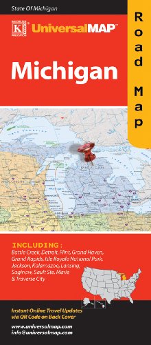 | Map:
Pages
(2009-06-09)
list price: US$4.95 -- used & new: US$4.95 (price subject to change: see help) Asin: 076256587X Canada | United Kingdom | Germany | France | Japan |
| 72. Family Maps of Ingham County, Michigan, Deluxe Edition by Gregory A. Boyd | |
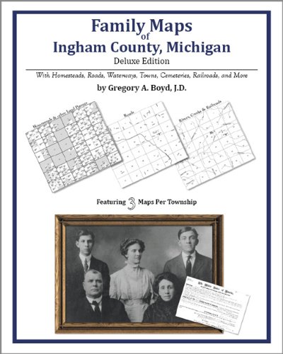 | Paperback: 224
Pages
(2010-07-16)
-- used & new: US$29.95 (price subject to change: see help) Asin: 142031422X Canada | United Kingdom | Germany | France | Japan |
|
Editorial Review Product Description | |
| 73. Lithology and Thickness of the Traverse Group in the Michigan Basin - USGS Map OC 28 by G. V. Cohee | |
| Map:
Pages
(1947-01-01)
Asin: B000SY9NNS Canada | United Kingdom | Germany | France | Japan | |
| 74. Family Maps of Saginaw County, Michigan, Deluxe Edition by Gregory A. Boyd | |
 | Paperback: 298
Pages
(2010-07-16)
-- used & new: US$31.95 (price subject to change: see help) Asin: 1420313533 Canada | United Kingdom | Germany | France | Japan |
|
Editorial Review Product Description | |
| 75. Family Maps of Branch County, Michigan, Deluxe Edition by Gregory A. Boyd | |
 | Paperback: 232
Pages
(2010-07-16)
-- used & new: US$29.95 (price subject to change: see help) Asin: 1420312626 Canada | United Kingdom | Germany | France | Japan |
|
Editorial Review Product Description | |
| 76. Rand, McNally & Co.'s indexed county and township pocket map and shippers' guide of Michigan: accompanied by a new and original compilation and ready reference index, showing in... by Unknown | |
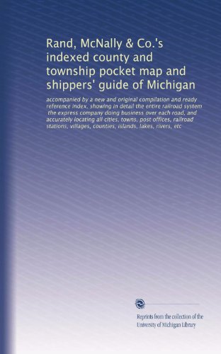 | Paperback: 64
Pages
(1885-01-01)
list price: US$9.99 -- used & new: US$9.99 (price subject to change: see help) Asin: B003QP4OJ4 Canada | United Kingdom | Germany | France | Japan |
|
Editorial Review Product Description | |
| 77. Family Maps of Van Buren County, Michigan, Deluxe Edition by Gregory A. Boyd | |
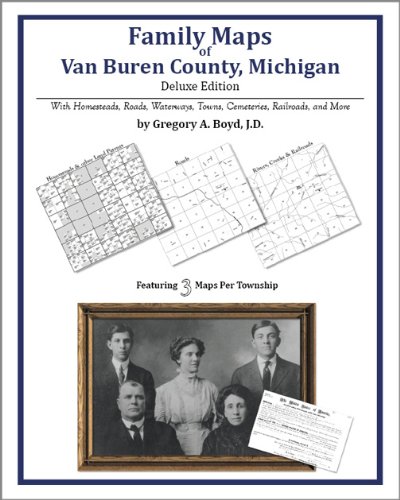 | Paperback: 250
Pages
(2010-07-16)
-- used & new: US$31.95 (price subject to change: see help) Asin: 1420313800 Canada | United Kingdom | Germany | France | Japan |
|
Editorial Review Product Description | |
| 78. MAP:'Michigan & Wisconsin...Railroad and County Map'...from Cram's Superior Reference Atlas of The World by George F Co Cram | |
| Unbound:
Pages
(1883-01-01)
Asin: B000NKN3EM Canada | United Kingdom | Germany | France | Japan | |
| 79. MAP: Washington and Edwards Mines, Humboldt, Marquette Co., Michigan by T.B.) State of Michigan Geological Survey Brooks | |
| Unbound:
Pages
(1869-01-01)
Asin: B000XK71HW Canada | United Kingdom | Germany | France | Japan | |
| 80. Michigan Off Road Map Lower Peninsula West by Off Road Venture | |
 | Map: 2
Pages
(2007-04-30)
list price: US$5.95 -- used & new: US$5.95 (price subject to change: see help) Asin: 0976731223 Canada | United Kingdom | Germany | France | Japan |
|
Editorial Review Product Description | |
| Back | 61-80 of 100 | Next 20 |