e99 Online Shopping Mall

Geometry.Net - the online learning center Help  
Home  - Basic O - Ohio Maps (Books)

  Back | 21-40 of 100 | Next 20
A  B  C  D  E  F  G  H  I  J  K  L  M  N  O  P  Q  R  S  T  U  V  W  X  Y  Z  

click price to see details     click image to enlarge     click link to go to the store

$4.95
21. Columbus (Rand McNally Folded
$4.95
22. Northeast Ohio: Regional (Rand
23. Ohio State Atlas
$4.95
24. American Map Corporation Cleveland,
$29.95
25. Family Maps of Monroe County,
$26.95
26. Family Maps of Putnam County,
$7.95
27. Rand McNally Youngstown, Ohio
$7.95
28. Rand McNally Easyfinder Canton,
$281.01
29. Rand Mcnally Ohio: Highways &
$29.95
30. Family Maps of Jackson County,
$11.69
31. American Map Greater Columbus,
$12.95
32. American Map Greater Cleveland
$7.95
33. American Map Corporation Columbus,
$22.99
34. RAND MCNALLY ZANESVILLE, OHIO
$4.95
35. Rand McNally Canton, Massillon,
 
36. Folded Map-Akron (Rand McNally)
$11.01
37. American Map Greater Cincinnati,
$6.95
38. American Map City Slicker Cleveland
$4.66
39. Rand McNally Streets of Cleveland,
 
40. Distribution Maps of Certain Plants

21. Columbus (Rand McNally Folded Map: Cities)
by Rand McNally
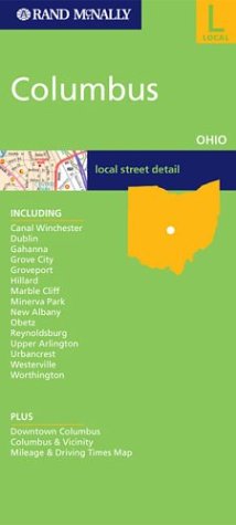
Map: Pages (2003-11)
list price: US$4.95 -- used & new: US$4.95
(price subject to change: see help)
Asin: 0528955640
Canada | United Kingdom | Germany | France | Japan
Editorial Review

Product Description
This is a detailed map of Columbus, Ohio. Complete coverage for the cities and surrounding areas, with an inset map for downtown. Plus most major tourist and business districts. When you flip the maps over, you will find a complete street index and a "city and vicinity" map of the entire metro area ... Read more


22. Northeast Ohio: Regional (Rand McNally Folded Map: States)
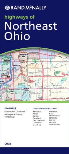
Map: 1 Pages (2003-10)
list price: US$4.95 -- used & new: US$4.95
(price subject to change: see help)
Asin: 0528993593
Canada | United Kingdom | Germany | France | Japan
Editorial Review

Product Description
How do you navigate a state without a Rand McNally map? A must-have for all who drive, the Rand McNally northeast regional Ohio State folded map offers a full-color map that shows: Interstate, U.S., state and county highways, parks, points of interest, airports, county boundaries and streets. Detailed indices help travelers locate destinations. ... Read more


23. Ohio State Atlas
by Universal Map
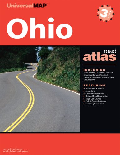
Paperback: Pages (2009-03-01)
list price: US$12.95
Isbn: 076256301X
Canada | United Kingdom | Germany | France | Japan
Editorial Review

Product Description
State Road Atlas Series
Traverse an entire state using one, conveniently sized travel reference. Our State Road Atlas Series features colorful, up-to-date cartography and includes interstate detail, insets of major city downtown areas, parks and travel information. Features include: Full color highway maps. Inter-city mileage charts. State parks guide. Downtown maps of major cities. Travel information. ... Read more


24. American Map Corporation Cleveland, OH Street Map
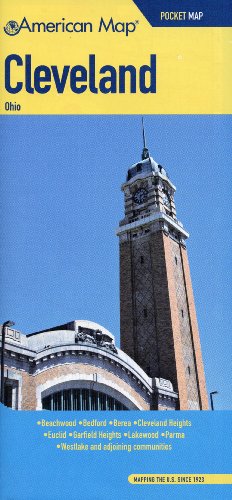
Map: Pages (2008-05-21)
list price: US$4.95 -- used & new: US$4.95
(price subject to change: see help)
Asin: 084160780X
Canada | United Kingdom | Germany | France | Japan
Editorial Review

Product Description
Convenient folding map with street level detail includes parks, hospitals, country clubs, historic places, shopping centers & malls, schools, an address locator, Zip Codes and other points of interest. ... Read more


25. Family Maps of Monroe County, Ohio, Deluxe Edition
by Gregory A. Boyd
Paperback: 244 Pages (2010-07-16)
-- used & new: US$29.95
(price subject to change: see help)
Asin: 1420311948
Canada | United Kingdom | Germany | France | Japan
Editorial Review

Product Description
Locating original landowners in maps has never been an easy task--until now. This volume in the Family Maps series contains newly created maps of original landowners (patent maps) in what is now Monroe County, Ohio, gleaned from the indexes of the U.S. Bureau of Land Management. But it offers much more than that. For each township in the county, there are two additional maps accompanying the patent map: a road map and a map showing waterways, railroads, and both modern and many historical city-centers and cemeteries.

Included are indexes to help you locate what you are looking for, whether you know a person's name, a last name, a place-name, or a cemetery. The combination of maps and indexes are designed to aid researchers of American history or genealogy to explore frontier neighborhoods, examine family migrations, locate hard-to-find cemeteries and towns, as well as locate land based on legal descriptions found in old documents or deeds.

The patent-maps are essentially plat maps but instead of depicting owners for a particular year, these maps show original landowners, no matter when the transfer from the federal government was completed. Dates of patents typically begin near the time of statehood and run into the early 1900s.

This high-quality paperback book from the critically acclaimed Family Maps series measures 8-3/8" wide x 10-5/8" high. ... Read more


26. Family Maps of Putnam County, Ohio, Deluxe Edition
by Gregory A. Boyd
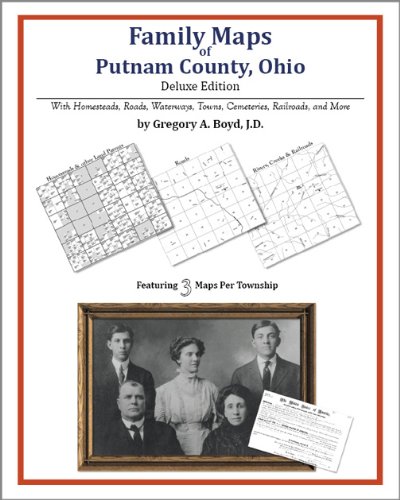
Paperback: 182 Pages (2010-07-16)
-- used & new: US$26.95
(price subject to change: see help)
Asin: 142031324X
Canada | United Kingdom | Germany | France | Japan
Editorial Review

Product Description
Locating original landowners in maps has never been an easy task--until now. This volume in the Family Maps series contains newly created maps of original landowners (patent maps) in what is now Putnam County, Ohio, gleaned from the indexes of the U.S. Bureau of Land Management. But it offers much more than that. For each township in the county, there are two additional maps accompanying the patent map: a road map and a map showing waterways, railroads, and both modern and many historical city-centers and cemeteries.

Included are indexes to help you locate what you are looking for, whether you know a person's name, a last name, a place-name, or a cemetery. The combination of maps and indexes are designed to aid researchers of American history or genealogy to explore frontier neighborhoods, examine family migrations, locate hard-to-find cemeteries and towns, as well as locate land based on legal descriptions found in old documents or deeds.

The patent-maps are essentially plat maps but instead of depicting owners for a particular year, these maps show original landowners, no matter when the transfer from the federal government was completed. Dates of patents typically begin near the time of statehood and run into the early 1900s.

This high-quality paperback book from the critically acclaimed Family Maps series measures 8-3/8" wide x 10-5/8" high. ... Read more


27. Rand McNally Youngstown, Ohio Easyfinder (Rand McNally Easy to Fold!)
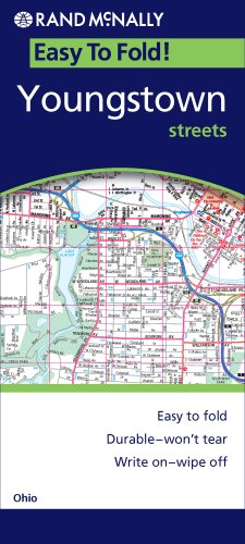
Map: Pages (2009-01-30)
list price: US$7.95 -- used & new: US$7.95
(price subject to change: see help)
Asin: 052887280X
Canada | United Kingdom | Germany | France | Japan
Editorial Review

Product Description
The durable and convenient EasyFinderTM of Youngstown and Warren, Ohio will take all the wear and tear your journey can dish out. The laminated design allows you to mark your route, make notes, then wipe the surface clean for further use.

This map features enhanced cartography with: Clearly indicated highways,County Boundaries, Streets,Points of Interest and National Parks. ... Read more


28. Rand McNally Easyfinder Canton, Ohio
by Rand McNally
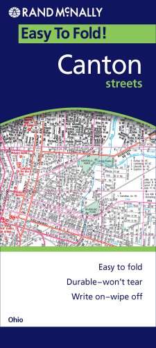
Map: Pages (2008-12-31)
list price: US$7.95 -- used & new: US$7.95
(price subject to change: see help)
Asin: 0528872834
Canada | United Kingdom | Germany | France | Japan

29. Rand Mcnally Ohio: Highways & Interstates (Rand McNally Folded Map: States)
by Rand McNally
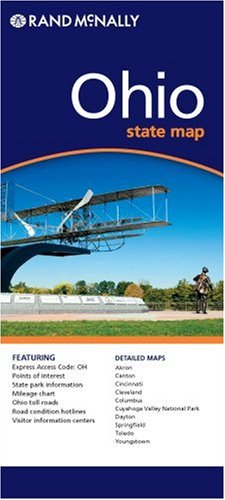
Map: Pages (2003-01)
list price: US$4.95 -- used & new: US$281.01
(price subject to change: see help)
Asin: 052899476X
Canada | United Kingdom | Germany | France | Japan
Editorial Review

Product Description
How do you navigate a state without a Rand McNally map? A must-have for all who drive, the Rand McNally Ohio folded map offers a full-color map that shows: Interstate, U.S., state and county highways, parks, points of interest, airports, county boundaries and streets. Detailed indices help travelers locate destinations. ... Read more


30. Family Maps of Jackson County, Ohio, Deluxe Edition
by Gregory A. Boyd
Paperback: 210 Pages (2010-07-16)
-- used & new: US$29.95
(price subject to change: see help)
Asin: 1420314157
Canada | United Kingdom | Germany | France | Japan
Editorial Review

Product Description
Locating original landowners in maps has never been an easy task--until now. This volume in the Family Maps series contains newly created maps of original landowners (patent maps) in what is now Jackson County, Ohio, gleaned from the indexes of the U.S. Bureau of Land Management. But it offers much more than that. For each township in the county, there are two additional maps accompanying the patent map: a road map and a map showing waterways, railroads, and both modern and many historical city-centers and cemeteries.

Included are indexes to help you locate what you are looking for, whether you know a person's name, a last name, a place-name, or a cemetery. The combination of maps and indexes are designed to aid researchers of American history or genealogy to explore frontier neighborhoods, examine family migrations, locate hard-to-find cemeteries and towns, as well as locate land based on legal descriptions found in old documents or deeds.

The patent-maps are essentially plat maps but instead of depicting owners for a particular year, these maps show original landowners, no matter when the transfer from the federal government was completed. Dates of patents typically begin near the time of statehood and run into the early 1900s.

This high-quality paperback book from the critically acclaimed Family Maps series measures 8-3/8" wide x 10-5/8" high. ... Read more


31. American Map Greater Columbus, Ohio: Street Atlas
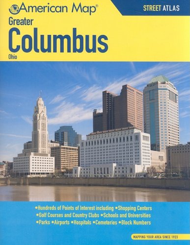
Paperback: 105 Pages (2008-06-18)
list price: US$11.95 -- used & new: US$11.69
(price subject to change: see help)
Asin: 0841607923
Canada | United Kingdom | Germany | France | Japan

32. American Map Greater Cleveland Ohio: Street Atlas
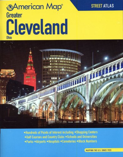
Paperback: 100 Pages (2008-06-18)
list price: US$12.95 -- used & new: US$12.95
(price subject to change: see help)
Asin: 0841607915
Canada | United Kingdom | Germany | France | Japan
Editorial Review

Product Description
At home, at work, or on the road, our atlases are a driver's best friend. Accurate, up-to-date and easy-to-read, street atlases provide convenient, clear reference for navigating close to home or points unknown. ... Read more


33. American Map Corporation Columbus, OH Slicker (City Slicker)
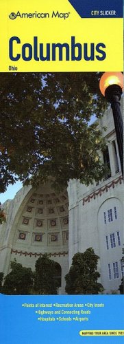
Map: Pages (2008-06-11)
list price: US$7.95 -- used & new: US$7.95
(price subject to change: see help)
Asin: 0841607990
Canada | United Kingdom | Germany | France | Japan
Editorial Review

Product Description
Travelling is more than getting from Point A to Point B.It's having the ability to choose the best route, or change course at any moment - whether due to heavy traffic, road work or a sudden urge to explore. ... Read more


34. RAND MCNALLY ZANESVILLE, OHIO
by Rand McNally and Company
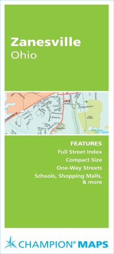
Map: 24 Pages (2007-10-05)
list price: US$3.95 -- used & new: US$22.99
(price subject to change: see help)
Asin: 0528871188
Canada | United Kingdom | Germany | France | Japan
Editorial Review

Product Description
The members of the Munch Bunch enjoy various activities which illustrate pairs of words with opposite meanings. ... Read more


35. Rand McNally Canton, Massillon, Ohio: Local Street Detail
by Rand McNally and Company
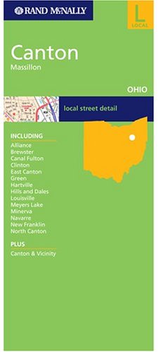
Map: Pages (2004-10-22)
list price: US$4.95 -- used & new: US$4.95
(price subject to change: see help)
Asin: 0528856383
Canada | United Kingdom | Germany | France | Japan

36. Folded Map-Akron (Rand McNally)
by Rand McNally
 Paperback: Pages (1999-06)
list price: US$3.95
Isbn: 0528979728
Canada | United Kingdom | Germany | France | Japan

37. American Map Greater Cincinnati, Ohio Street Atlas
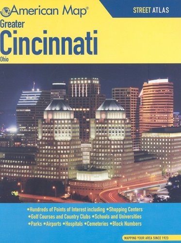
Paperback: 112 Pages (2008-06-11)
list price: US$12.95 -- used & new: US$11.01
(price subject to change: see help)
Asin: 0841607907
Canada | United Kingdom | Germany | France | Japan

38. American Map City Slicker Cleveland Vicinity, Ohio: City Streets, Metro Roads
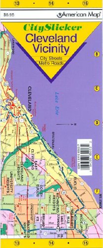
Map: Pages (2005-02-05)
list price: US$6.95 -- used & new: US$6.95
(price subject to change: see help)
Asin: 0841655537
Average Customer Review: 2.5 out of 5 stars
Canada | United Kingdom | Germany | France | Japan
Editorial Review

Product Description
Out of towner's can travel with confidence when using Slicker maps. Easy to handle and easy to read, Slickers fold and unfold in a flash. Slickers are laminated which makes them markable and very durable, withstanding everyday usage during any travel itinerary you plan. This city slicker includes points of interest, parks and recreation, schools, shopping centers, hospitals and much more. ... Read more

Customer Reviews (2)

1-0 out of 5 stars Too vague
I thought that this would be a detailed street map of Cleveland and the surrounding areas. It only includes major streets.

4-0 out of 5 stars all purpose map with good features
This map is great for reference when we are driving around the city of Cleveland.I also like the fact that it is laminated to resist liquids and general wear.It serves it's purpose well. ... Read more


39. Rand McNally Streets of Cleveland, Cuyahoga County, Ohio (Rand McNally Streets Of...)
by Rand McNally and Company
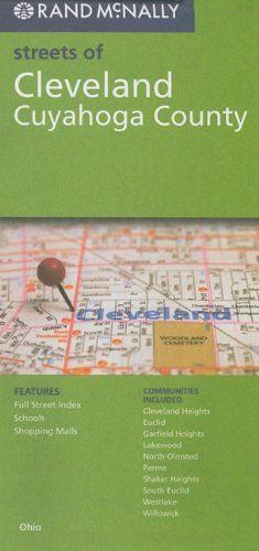
Map: Pages (2010-03)
list price: US$5.99 -- used & new: US$4.66
(price subject to change: see help)
Asin: 0528879766
Canada | United Kingdom | Germany | France | Japan

40. Distribution Maps of Certain Plants in Ohio (Ohio Biological Survey Bulletin)
by E. N. Transeau, P. E. Williams
 Paperback: 36 Pages (1929-06-15)
list price: US$2.00
Isbn: 0867270195
Canada | United Kingdom | Germany | France | Japan

  Back | 21-40 of 100 | Next 20
A  B  C  D  E  F  G  H  I  J  K  L  M  N  O  P  Q  R  S  T  U  V  W  X  Y  Z  

Prices listed on this site are subject to change without notice.
Questions on ordering or shipping? click here for help.

site stats