|
|
Help |
| Home - Basic O - Ohio Maps (Books) | |
e99 Online Shopping Mall
|
|
Help |
| Home - Basic O - Ohio Maps (Books) | |
| Back | 61-80 of 100 | Next 20 |
click price to see details click image to enlarge click link to go to the store
| 61. Rand Mcnally Akron/Canton Ohio Folded Map | |
 | Map:
Pages
(2010-01-05)
list price: US$5.99 -- used & new: US$1.84 (price subject to change: see help) Asin: 0528882538 Canada | United Kingdom | Germany | France | Japan |
| 62. Complete City Maps of Ohio by Michael Jenkins | |
| Paperback:
Pages
(1991-06)
list price: US$19.95 Isbn: 1879349019 Canada | United Kingdom | Germany | France | Japan | |
| 63. Ohio State Map (Rand McNally) | |
| Map:
Pages
(1999-06)
list price: US$3.95 -- used & new: US$3.75 (price subject to change: see help) Asin: 0528977857 Canada | United Kingdom | Germany | France | Japan | |
| 64. Early Maps of the Ohio Valley. A Selection of Maps, Plans and Views by Lloyd A. BROWN | |
| Hardcover:
Pages
(1959)
Asin: B000S8XMOK Canada | United Kingdom | Germany | France | Japan | |
| 65. Rand Mcnally North Lorain, Ohio Street Map (Rand McNally Streets Of...) | |
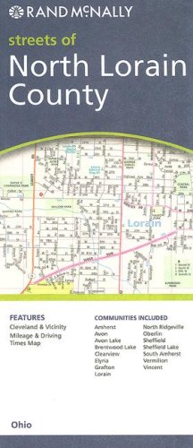 | Map:
Pages
(2007-06-18)
list price: US$4.95 -- used & new: US$4.95 (price subject to change: see help) Asin: 0528869965 Canada | United Kingdom | Germany | France | Japan |
| 66. MAP: Ohio: 1864 [reproduction of original] by A.J. Johnson | |
| Map:
Pages
(2008-01-01)
-- used & new: US$9.95 (price subject to change: see help) Asin: B003DD8JS6 Canada | United Kingdom | Germany | France | Japan | |
|
Editorial Review Product Description | |
| 67. Rand McNally Youngstown, Warren, Ohio: Local Street Detail (Rand McNally Folded Map: Cities) by Rand McNally and Company | |
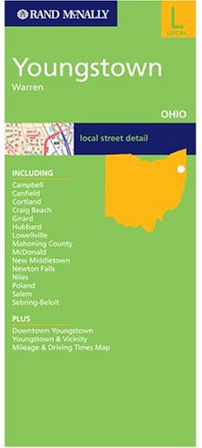 | Map:
Pages
(2004-12-03)
list price: US$4.95 -- used & new: US$4.95 (price subject to change: see help) Asin: 0528856375 Canada | United Kingdom | Germany | France | Japan |
| 68. American Map Ohio Pocket Map | |
 | Map:
Pages
(2007-06-15)
list price: US$4.95 -- used & new: US$4.95 (price subject to change: see help) Asin: 0841654247 Canada | United Kingdom | Germany | France | Japan |
| 69. American Map Ohio State Travel Vision Map | |
 | Map:
Pages
(2007-01-15)
list price: US$4.95 -- used & new: US$112.39 (price subject to change: see help) Asin: 0841690723 Canada | United Kingdom | Germany | France | Japan |
|
Editorial Review Product Description | |
| 70. The Ohio Gateway : With Illustrated Maps by David E. Crouse | |
| Hardcover: 146
Pages
(1938)
Asin: B00085KBMY Canada | United Kingdom | Germany | France | Japan | |
| 71. AAA Map Ohio West Virginia (American Automobile Association) by AAA | |
| Map:
Pages
(1993)
Asin: B001QYNYA2 Canada | United Kingdom | Germany | France | Japan | |
| 72. Ohio Northwest Regional (State Regional Road Fold Maps) | |
| Map:
Pages
(2001-01)
list price: US$4.95 -- used & new: US$4.85 (price subject to change: see help) Asin: 0762531983 Canada | United Kingdom | Germany | France | Japan | |
| 73. Shell Map of Ohio. by (OHIO) | |
| Unknown Binding:
Pages
(1949)
Asin: B00455W162 Canada | United Kingdom | Germany | France | Japan | |
| 74. Combination atlas map of Licking County, Ohio by L. H Everts | |
| Unknown Binding: 137
Pages
(1875)
Asin: B00088U3FG Canada | United Kingdom | Germany | France | Japan | |
| 75. REDI Realty Atlas Franklin County Ohio City Map Volume 1 Map A-1 thru H-72 (REDI Realty Atlas) | |
| Paperback: 506
Pages
(1991)
Asin: B000Q3YLGA Canada | United Kingdom | Germany | France | Japan | |
| 76. Family Maps of Auglaize County, Ohio, Deluxe Edition by Gregory A. Boyd | |
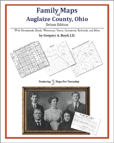 | Paperback: 194
Pages
(2010-07-16)
-- used & new: US$26.95 (price subject to change: see help) Asin: 1420312219 Canada | United Kingdom | Germany | France | Japan |
|
Editorial Review Product Description | |
| 77. The Stratigraphic Relationship of the Berea, Corry, and Cussewago Sandstones in Northeastern Ohio and Northwestern Pennsylvania - USGS Map OC 21 by Wallace Jr. De Witt | |
| Map:
Pages
(1946-01-01)
Asin: B000SY9N88 Canada | United Kingdom | Germany | France | Japan | |
| 78. MAP: 'Geological Map of Union County'...from Geological Survey of Ohio, 1874 by N.H.) State of Ohio Winchell | |
| Unbound:
Pages
(1874-01-01)
Asin: B000XK5MH8 Canada | United Kingdom | Germany | France | Japan | |
| 79. Champion Map Newark, Ohio (Champion Maps) by Rand McNally | |
 | Map:
Pages
(2008-01-17)
list price: US$3.95 -- used & new: US$3.95 (price subject to change: see help) Asin: 0528870998 Canada | United Kingdom | Germany | France | Japan |
| 80. National Geographic Illinois, Indiana, Ohio, and Kentucky: Close-Up : USA Regional Map & Travel Planner (Close-Up, USA) by National Geographic Society | |
| Map:
Pages
(1998-07)
list price: US$7.95 -- used & new: US$64.94 (price subject to change: see help) Asin: 1572624221 Canada | United Kingdom | Germany | France | Japan | |
| Back | 61-80 of 100 | Next 20 |