|
|
Help |
| Home - Basic U - Us Maps (Books) | |
e99 Online Shopping Mall
|
|
Help |
| Home - Basic U - Us Maps (Books) | |
| Back | 21-40 of 117 | Next 20 |
click price to see details click image to enlarge click link to go to the store
| 21. | |
Canada | United Kingdom | Germany | France | Japan | |
| 22. | |
Canada | United Kingdom | Germany | France | Japan | |
| 23. | |
Canada | United Kingdom | Germany | France | Japan | |
| 24. | |
Canada | United Kingdom | Germany | France | Japan | |
| 25. | |
Canada | United Kingdom | Germany | France | Japan | |
| 26. | |
Canada | United Kingdom | Germany | France | Japan | |
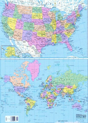
| 27. Us Laminated Map (Superior Series) | |
| Paperback:
Pages
(2002-08)
list price: US$19.95 -- used & new: US$17.75 (price subject to change: see help) Asin: 0843715405 Canada | United Kingdom | Germany | France | Japan | |
| 28. How maps and globes help us (Basic concepts series) by David Hackler | |
| Hardcover: 72
Pages
(1963)
-- used & new: US$8.99 (price subject to change: see help) Asin: B0007DNRQO Canada | United Kingdom | Germany | France | Japan | |
| 29. Us/world Collectors Map Refill: Rolled by Hammond World Atlas Corporation | |
| Paperback:
Pages
(2005-06-30)
list price: US$293.10 -- used & new: US$335.75 (price subject to change: see help) Asin: 0843708654 Canada | United Kingdom | Germany | France | Japan | |
|
Editorial Review Product Description | |
| 30. American Map US Travel Road Atlas | |
 | Spiral-bound: 256
Pages
(2007-09-15)
list price: US$19.95 -- used & new: US$5.50 (price subject to change: see help) Asin: 0841628416 Average Customer Review: Canada | United Kingdom | Germany | France | Japan |
|
Editorial Review Product Description Features include: Clear, accurate road maps of all 50 states plus detailed road and street maps of featured cities Extensive editorial coverage of 46 major US cities with expert reviews of hotels, restaurants, sights and activities from the editors at Fodor's, with family friendly choices and options for every budget Starred Fodor's Picks A brief introduction to the state and city Color sidebars highlighting free attractions, seasonal events, cultural features, and more American Map's one-of-a-kind road atlas is designed for drivers who love to travel and travelers who love to drive. Customer Reviews (3)
| |
| 31. Desk Map of the United States Gloss Laminated | |
 | Map: 1
Pages
(2009)
-- used & new: US$9.99 (price subject to change: see help) Asin: B002YFHUL6 Canada | United Kingdom | Germany | France | Japan |
|
Editorial Review Product Description | |
| 32. Rand McNally World Wall Map: Laminated : M Series (M Series Map of the World) by Rand McNally and Company | |
 | Map:
Pages
(2001-06)
list price: US$14.95 -- used & new: US$9.93 (price subject to change: see help) Asin: 052895993X Average Customer Review: Canada | United Kingdom | Germany | France | Japan |
|
Editorial Review Product Description Customer Reviews (26)
| |
| 33. USA Classic Wall Map- Mural Map by National Geographic Maps | |
 | Map:
Pages
(2007-01-01)
list price: US$99.99 -- used & new: US$62.99 (price subject to change: see help) Asin: 159775109X Average Customer Review: Canada | United Kingdom | Germany | France | Japan |
|
Editorial Review Product Description Customer Reviews (1)
| |
| 34. World Rolled Map (M Series World Wall Maps) by Robert G. Enzel, Rand McNally | |
 | Map: 1
Pages
(2001-07)
list price: US$4.95 -- used & new: US$16.95 (price subject to change: see help) Asin: 0528847120 Average Customer Review: Canada | United Kingdom | Germany | France | Japan |
|
Editorial Review Product Description Features include: This eye-catching wall map's combination of bold colors and detailed cartography make it a handy reference piece that's sure to stand out in any home, classroom, or office. This map looks great framed, too! Customer Reviews (48)
| |
| 35. Notebook Map Us/World Strip (12) | |
 | Map:
Pages
(2002-08)
list price: US$35.40 -- used & new: US$24.52 (price subject to change: see help) Asin: 0841694664 Canada | United Kingdom | Germany | France | Japan |
|
Editorial Review Product Description | |
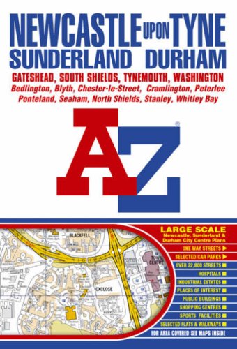
| 36. Newcastle Upon Tyne Street Atlas (Street Maps & Atlases) by Geographers' a-Z Map Company | |
 | Paperback: 272
Pages
(2004-05-10)
list price: US$10.85 -- used & new: US$3.03 (price subject to change: see help) Asin: 184348188X Canada | United Kingdom | Germany | France | Japan |
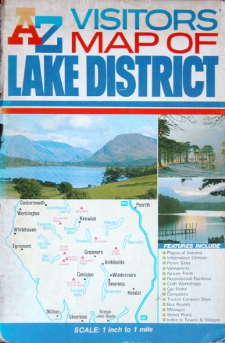
| 37. A. to Z. Visitors' Map of the Lake District (Visitors Map) by Geographers' A-Z Map Company | |
 | Map:
Pages
(1990)
Isbn: 0850391504 Canada | United Kingdom | Germany | France | Japan |
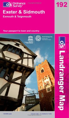
| 38. Exeter and Sidmouth, Exmouth and Teignmouth (OS Landranger Map) by Ordnance Survey | |
 | Map:
Pages
(2008-12-08)
list price: US$11.04 -- used & new: US$5.90 (price subject to change: see help) Asin: 0319231399 Canada | United Kingdom | Germany | France | Japan |
|
Editorial Review Product Description | |
| 39. Michelin Centre (Berry-Nivernais), France Map No. 238 by Michelin Travel Publications, Pneu Michelin | |
 | Map: 1
Pages
(1987)
list price: US$8.95 -- used & new: US$8.95 (price subject to change: see help) Asin: 2067002384 Canada | United Kingdom | Germany | France | Japan |
|
Editorial Review Product Description | |
| 40. Ballater, Glen Clova and Surrounding Area (Landranger Maps) by Ordnance Survey | |
| Map:
Pages
(1995-11)
Isbn: 0319222330 Canada | United Kingdom | Germany | France | Japan | |
|
Editorial Review Product Description | |
| Back | 21-40 of 117 | Next 20 |