e99 Online Shopping Mall

Geometry.Net - the online learning center Help  
Home  - Basic W - Wisconsin Maps (Books)

  Back | 41-60 of 102 | Next 20
A  B  C  D  E  F  G  H  I  J  K  L  M  N  O  P  Q  R  S  T  U  V  W  X  Y  Z  

click price to see details     click image to enlarge     click link to go to the store

 
$108.91
41. Manitowoc/Sheboygan, Wisconsin:
$67.41
42. Rand McNally Green Bay, Wisconsin:
 
$12.00
43. Wausau, Wisconsin city map: Including
 
$3.99
44. Washington County, Wisconsin:
 
45. Sectional map of the surveyed
 
$5.00
46. Rand McNally Milwaukee Metro-Southeastern
$3.95
47. Rand McNally Stevens Point/ Wisconsin
 
$9.95
48. MAP: Wisconsin and Michigan: 1864
$35.95
49. Family Maps of Vilas County, Wisconsin,
 
50. County and Township Map of the
$38.95
51. Family Maps of Oneida County,
$12.99
52. Mississippi River Pool 4 Fishing
$35.95
53. Family Maps of Price County, Wisconsin,
$35.95
54. Family Maps of Clark County, Wisconsin,
$35.95
55. Family Maps of Chippewa County,
$4.95
56. American Map Wisconsin
$31.95
57. Family Maps of Washburn County,
$3.95
58. Champion Maps Manitowoc Two Rivers,
 
$5.99
59. Walworth County, Wisconsin Street
 
$9.95
60. MAP: Wisconsin: 1880/81 [reproduction

41. Manitowoc/Sheboygan, Wisconsin: City Map (Rand McNally)
by Rand McNally
 Map: Pages (1999-12)
list price: US$2.95 -- used & new: US$108.91
(price subject to change: see help)
Asin: 052894732X
Canada | United Kingdom | Germany | France | Japan

42. Rand McNally Green Bay, Wisconsin: City Map
by Rand McNally and Company
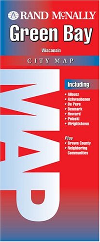
Map: Pages (2004-05-30)
list price: US$4.95 -- used & new: US$67.41
(price subject to change: see help)
Asin: 0528854003
Canada | United Kingdom | Germany | France | Japan

43. Wausau, Wisconsin city map: Including Rothschild, Schofield, plus neighboring communities, Marathon County
by Seeger Map Co
 Unknown Binding: Pages (1993)
-- used & new: US$12.00
(price subject to change: see help)
Asin: 0528946943
Canada | United Kingdom | Germany | France | Japan

44. Washington County, Wisconsin: City Map (Rand McNally)
by Rand McNally
 Map: Pages (1999-12)
list price: US$2.95 -- used & new: US$3.99
(price subject to change: see help)
Asin: 0528966154
Canada | United Kingdom | Germany | France | Japan

45. Sectional map of the surveyed portion of Minnesota and the northwestern part of Wisconsin
by Joseph S Sewall
 Unbound: Pages (1866)

Asin: B0008B1N5M
Canada | United Kingdom | Germany | France | Japan

46. Rand McNally Milwaukee Metro-Southeastern Wisconsin City Map (Folded-Map Series)
by Rand McNally and Company
 Paperback: Pages (1999-06)
list price: US$3.95 -- used & new: US$5.00
(price subject to change: see help)
Asin: 0528976354
Canada | United Kingdom | Germany | France | Japan

47. Rand McNally Stevens Point/ Wisconsin Rapids, Wisconsin (Champion Maps)
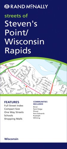
Map: Pages (2007-10-05)
list price: US$3.95 -- used & new: US$3.95
(price subject to change: see help)
Asin: 0528871269
Canada | United Kingdom | Germany | France | Japan

48. MAP: Wisconsin and Michigan: 1864 [reproduction of original]
by A.J. Johnson
 Map: Pages (2008-01-01)
-- used & new: US$9.95
(price subject to change: see help)
Asin: B003DD2A0Y
Canada | United Kingdom | Germany | France | Japan

49. Family Maps of Vilas County, Wisconsin, Deluxe Edition
by Gregory A. Boyd
Paperback: 398 Pages (2010-07-16)
-- used & new: US$35.95
(price subject to change: see help)
Asin: 1420312871
Canada | United Kingdom | Germany | France | Japan
Editorial Review

Product Description
Locating original landowners in maps has never been an easy task--until now. This volume in the Family Maps series contains newly created maps of original landowners (patent maps) in what is now Vilas County, Wisconsin, gleaned from the indexes of the U.S. Bureau of Land Management. But it offers much more than that. For each township in the county, there are two additional maps accompanying the patent map: a road map and a map showing waterways, railroads, and both modern and many historical city-centers and cemeteries.

Included are indexes to help you locate what you are looking for, whether you know a person's name, a last name, a place-name, or a cemetery. The combination of maps and indexes are designed to aid researchers of American history or genealogy to explore frontier neighborhoods, examine family migrations, locate hard-to-find cemeteries and towns, as well as locate land based on legal descriptions found in old documents or deeds.

The patent-maps are essentially plat maps but instead of depicting owners for a particular year, these maps show original landowners, no matter when the transfer from the federal government was completed. Dates of patents typically begin near the time of statehood and run into the early 1900s.

This high-quality paperback book from the critically acclaimed Family Maps series measures 8-3/8" wide x 10-5/8" high. ... Read more


50. County and Township Map of the States of Michigan and Wisconsin.
by W.H. (drawn and engraved by). (MICHIGAN / WISCONSIN) Gamble
 Unknown Binding: Pages (1882)

Asin: B00455XQE8
Canada | United Kingdom | Germany | France | Japan

51. Family Maps of Oneida County, Wisconsin, Deluxe Edition
by Gregory A. Boyd
Paperback: 452 Pages (2010-07-16)
-- used & new: US$38.95
(price subject to change: see help)
Asin: 1420314394
Canada | United Kingdom | Germany | France | Japan
Editorial Review

Product Description
Locating original landowners in maps has never been an easy task--until now. This volume in the Family Maps series contains newly created maps of original landowners (patent maps) in what is now Oneida County, Wisconsin, gleaned from the indexes of the U.S. Bureau of Land Management. But it offers much more than that. For each township in the county, there are two additional maps accompanying the patent map: a road map and a map showing waterways, railroads, and both modern and many historical city-centers and cemeteries.

Included are indexes to help you locate what you are looking for, whether you know a person's name, a last name, a place-name, or a cemetery. The combination of maps and indexes are designed to aid researchers of American history or genealogy to explore frontier neighborhoods, examine family migrations, locate hard-to-find cemeteries and towns, as well as locate land based on legal descriptions found in old documents or deeds.

The patent-maps are essentially plat maps but instead of depicting owners for a particular year, these maps show original landowners, no matter when the transfer from the federal government was completed. Dates of patents typically begin near the time of statehood and run into the early 1900s.

This high-quality paperback book from the critically acclaimed Family Maps series measures 8-3/8" wide x 10-5/8" high. ... Read more


52. Mississippi River Pool 4 Fishing Map (Wisconsin Fishing Map Series, M245)
by Fishing Hot Spots
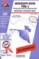
Map: Pages (2009)
-- used & new: US$12.99
(price subject to change: see help)
Asin: B002H5FUPQ
Canada | United Kingdom | Germany | France | Japan
Editorial Review

Product Description
Waterproof fishing map, with river-bottom contours, boat ramp locations, known fishing spots, comprehensive fishing information, and more. ... Read more


53. Family Maps of Price County, Wisconsin, Deluxe Edition
by Gregory A. Boyd
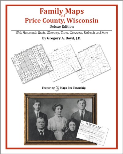
Paperback: 382 Pages (2010-07-16)
-- used & new: US$35.95
(price subject to change: see help)
Asin: 142031453X
Canada | United Kingdom | Germany | France | Japan
Editorial Review

Product Description
Locating original landowners in maps has never been an easy task--until now. This volume in the Family Maps series contains newly created maps of original landowners (patent maps) in what is now Price County, Wisconsin, gleaned from the indexes of the U.S. Bureau of Land Management. But it offers much more than that. For each township in the county, there are two additional maps accompanying the patent map: a road map and a map showing waterways, railroads, and both modern and many historical city-centers and cemeteries.

Included are indexes to help you locate what you are looking for, whether you know a person's name, a last name, a place-name, or a cemetery. The combination of maps and indexes are designed to aid researchers of American history or genealogy to explore frontier neighborhoods, examine family migrations, locate hard-to-find cemeteries and towns, as well as locate land based on legal descriptions found in old documents or deeds.

The patent-maps are essentially plat maps but instead of depicting owners for a particular year, these maps show original landowners, no matter when the transfer from the federal government was completed. Dates of patents typically begin near the time of statehood and run into the early 1900s.

This high-quality paperback book from the critically acclaimed Family Maps series measures 8-3/8" wide x 10-5/8" high. ... Read more


54. Family Maps of Clark County, Wisconsin, Deluxe Edition
by Gregory A. Boyd
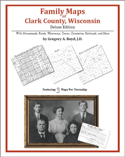
Paperback: 392 Pages (2010-07-16)
-- used & new: US$35.95
(price subject to change: see help)
Asin: 1420313630
Canada | United Kingdom | Germany | France | Japan
Editorial Review

Product Description
Locating original landowners in maps has never been an easy task--until now. This volume in the Family Maps series contains newly created maps of original landowners (patent maps) in what is now Clark County, Wisconsin, gleaned from the indexes of the U.S. Bureau of Land Management. But it offers much more than that. For each township in the county, there are two additional maps accompanying the patent map: a road map and a map showing waterways, railroads, and both modern and many historical city-centers and cemeteries.

Included are indexes to help you locate what you are looking for, whether you know a person's name, a last name, a place-name, or a cemetery. The combination of maps and indexes are designed to aid researchers of American history or genealogy to explore frontier neighborhoods, examine family migrations, locate hard-to-find cemeteries and towns, as well as locate land based on legal descriptions found in old documents or deeds.

The patent-maps are essentially plat maps but instead of depicting owners for a particular year, these maps show original landowners, no matter when the transfer from the federal government was completed. Dates of patents typically begin near the time of statehood and run into the early 1900s.

This high-quality paperback book from the critically acclaimed Family Maps series measures 8-3/8" wide x 10-5/8" high. ... Read more


55. Family Maps of Chippewa County, Wisconsin, Deluxe Edition
by Gregory A. Boyd
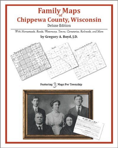
Paperback: 352 Pages (2010-07-16)
-- used & new: US$35.95
(price subject to change: see help)
Asin: 1420313622
Canada | United Kingdom | Germany | France | Japan
Editorial Review

Product Description
Locating original landowners in maps has never been an easy task--until now. This volume in the Family Maps series contains newly created maps of original landowners (patent maps) in what is now Chippewa County, Wisconsin, gleaned from the indexes of the U.S. Bureau of Land Management. But it offers much more than that. For each township in the county, there are two additional maps accompanying the patent map: a road map and a map showing waterways, railroads, and both modern and many historical city-centers and cemeteries.

Included are indexes to help you locate what you are looking for, whether you know a person's name, a last name, a place-name, or a cemetery. The combination of maps and indexes are designed to aid researchers of American history or genealogy to explore frontier neighborhoods, examine family migrations, locate hard-to-find cemeteries and towns, as well as locate land based on legal descriptions found in old documents or deeds.

The patent-maps are essentially plat maps but instead of depicting owners for a particular year, these maps show original landowners, no matter when the transfer from the federal government was completed. Dates of patents typically begin near the time of statehood and run into the early 1900s.

This high-quality paperback book from the critically acclaimed Family Maps series measures 8-3/8" wide x 10-5/8" high. ... Read more


56. American Map Wisconsin
Map: Pages (2007-01-24)
list price: US$4.95 -- used & new: US$4.95
(price subject to change: see help)
Asin: 0841603324
Canada | United Kingdom | Germany | France | Japan

57. Family Maps of Washburn County, Wisconsin, Deluxe Edition
by Gregory A. Boyd
Paperback: 292 Pages (2010-07-16)
-- used & new: US$31.95
(price subject to change: see help)
Asin: 1420313665
Canada | United Kingdom | Germany | France | Japan
Editorial Review

Product Description
Locating original landowners in maps has never been an easy task--until now. This volume in the Family Maps series contains newly created maps of original landowners (patent maps) in what is now Washburn County, Wisconsin, gleaned from the indexes of the U.S. Bureau of Land Management. But it offers much more than that. For each township in the county, there are two additional maps accompanying the patent map: a road map and a map showing waterways, railroads, and both modern and many historical city-centers and cemeteries.

Included are indexes to help you locate what you are looking for, whether you know a person's name, a last name, a place-name, or a cemetery. The combination of maps and indexes are designed to aid researchers of American history or genealogy to explore frontier neighborhoods, examine family migrations, locate hard-to-find cemeteries and towns, as well as locate land based on legal descriptions found in old documents or deeds.

The patent-maps are essentially plat maps but instead of depicting owners for a particular year, these maps show original landowners, no matter when the transfer from the federal government was completed. Dates of patents typically begin near the time of statehood and run into the early 1900s.

This high-quality paperback book from the critically acclaimed Family Maps series measures 8-3/8" wide x 10-5/8" high. ... Read more


58. Champion Maps Manitowoc Two Rivers, Wisconsin
by Rand McNally
Paperback: Pages (2008-01-14)
list price: US$3.95 -- used & new: US$3.95
(price subject to change: see help)
Asin: 0528872486
Canada | United Kingdom | Germany | France | Japan

59. Walworth County, Wisconsin Street Map
by National Map Marketing
 Hardcover: 1 Pages (2003-01)
-- used & new: US$5.99
(price subject to change: see help)
Asin: 0929218647
Canada | United Kingdom | Germany | France | Japan

60. MAP: Wisconsin: 1880/81 [reproduction of original]
by Unknown
 Map: Pages (2008-01-01)
-- used & new: US$9.95
(price subject to change: see help)
Asin: B003DDAJ84
Canada | United Kingdom | Germany | France | Japan

  Back | 41-60 of 102 | Next 20
A  B  C  D  E  F  G  H  I  J  K  L  M  N  O  P  Q  R  S  T  U  V  W  X  Y  Z  

Prices listed on this site are subject to change without notice.
Questions on ordering or shipping? click here for help.

site stats