|
|
Help |
| Home - Basic W - Wyoming Maps (Books) | |
e99 Online Shopping Mall
|
|
Help |
| Home - Basic W - Wyoming Maps (Books) | |
| Back | 61-80 of 109 | Next 20 |
click price to see details click image to enlarge click link to go to the store
| 61. Estimates of post-mining water quality for the upper Tongue River, Montana and Wyoming (Hydrogeologic map) by Wayne A Van Voast | |
| Paperback: 10
Pages
(1982)
Asin: B0006Y312E Canada | United Kingdom | Germany | France | Japan | |
| 62. 2006 Wyoming (State Wall Maps) by Universal Map | |
| Map:
Pages
(2006-08-15)
list price: US$159.50 -- used & new: US$159.50 (price subject to change: see help) Asin: 0762541253 Canada | United Kingdom | Germany | France | Japan | |
|
Editorial Review Product Description | |
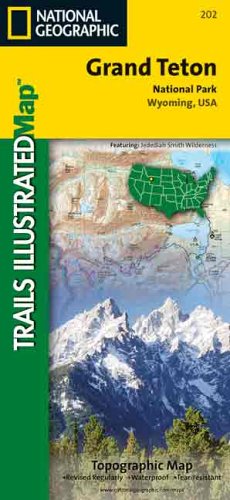
| 63. National Geographic Trails Illustrated Grand Teton National Park, Wyoming, USA: Topo Map (Trails Illustrated - Topo Maps USA) | |
 | Map:
Pages
(2001-01)
list price: US$9.95 -- used & new: US$11.19 (price subject to change: see help) Asin: 0925873020 Average Customer Review: Canada | United Kingdom | Germany | France | Japan |
Customer Reviews (1)
| |
| 64. Trails Illustrated - National Parks Map-Cloud Peak Wilderness - Nat'l Fores (National Forest/BLM) by Trails Illustrated | |
| Map:
Pages
(1997-10)
list price: US$9.95 -- used & new: US$9.95 (price subject to change: see help) Asin: 1566950481 Average Customer Review: Canada | United Kingdom | Germany | France | Japan | |
|
Editorial Review Product Description Customer Reviews (4)
| |
| 65. Rawlins, Wyoming (Western United States 1:250,000, V502P) | |
 | Map: 1
Pages
(1970)
-- used & new: US$38.98 (price subject to change: see help) Asin: B003T77GDA Canada | United Kingdom | Germany | France | Japan |
|
Editorial Review Product Description We have 3-dimensional maps of most of the mountainous regions of the U.S. Mountain West. Each USGS topographic map covers 2° longitude and 1° latitude. That is about 100 miles east to west and 70 miles north to south, depending on the latitude of the map. Our USGS maps use raised relief and are a truly exceptional visual and tactile reference. They are appropriate for real estate offices, travel agencies, outdoor enthusiasts, and classroom use. You will be proud to display one of our raised relief maps in any setting. Contour Interval: 200' | |
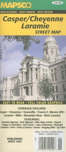
| 66. Rand McNally Casper, Cheyenne, Laramie, Wyoming | |
 | Map:
Pages
(2006-05)
list price: US$4.95 -- used & new: US$4.95 (price subject to change: see help) Asin: 1569663351 Canada | United Kingdom | Germany | France | Japan |
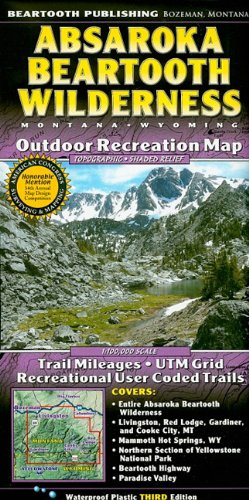
| 67. Absaroka Beartooth Wilderness: Montana, Wyoming: Outdoor Recreation Map | |
 | Map:
Pages
(2009-02)
list price: US$11.95 -- used & new: US$10.15 (price subject to change: see help) Asin: 1887460098 Average Customer Review: Canada | United Kingdom | Germany | France | Japan |
|
Editorial Review Product Description Customer Reviews (1)
| |
| 68. Yellowstone National Park NE/Tower/Canyon Trails Illustrated Map #304 by National Geographic Maps | |
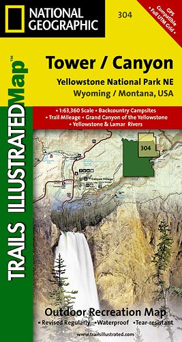 | Map: 2
Pages
(2008-07-01)
list price: US$9.95 -- used & new: US$7.45 (price subject to change: see help) Asin: 1566954355 Canada | United Kingdom | Germany | France | Japan |
|
Editorial Review Product Description | |
| 69. Rand Mcnally Mammoth Hot Springs, Wyoming by National Geographic Society (U. S.) | |
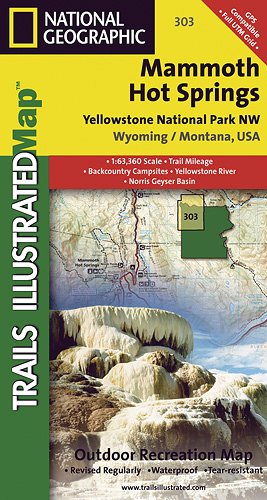 | Map: 2
Pages
(2009-09-25)
list price: US$9.95 -- used & new: US$5.80 (price subject to change: see help) Asin: 1566954347 Canada | United Kingdom | Germany | France | Japan |
|
Editorial Review Product Description | |
| 70. Rand Mcnally Streets ofCasper, Wyoming (Rand McNally Streets Of...) by Rand McNally and Company | |
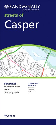 | Map:
Pages
(2009-06-22)
list price: US$4.95 -- used & new: US$4.94 (price subject to change: see help) Asin: 0528878956 Canada | United Kingdom | Germany | France | Japan |
| 71. National Geographic Destination Maps Grand Teton (Destination Maps for American National Parks) by National Geographic Society | |
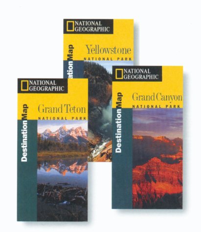 | Map:
Pages
(1999-01)
list price: US$11.95 -- used & new: US$8.90 (price subject to change: see help) Asin: 1566950589 Canada | United Kingdom | Germany | France | Japan |
| 72. Rock Springs, Wyoming (Western United States 1:250,000, V502P) | |
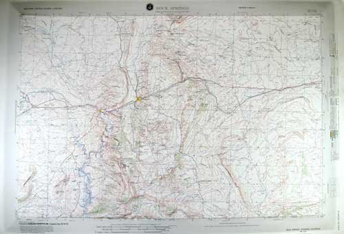 | Map: 1
Pages
(1970)
-- used & new: US$38.98 (price subject to change: see help) Asin: B003T7AWZ4 Canada | United Kingdom | Germany | France | Japan |
|
Editorial Review Product Description We have 3-dimensional maps of most of the mountainous regions of the U.S. Mountain West. Each USGS topographic map covers 2° longitude and 1° latitude. That is about 100 miles east to west and 70 miles north to south, depending on the latitude of the map. Our USGS maps use raised relief and are a truly exceptional visual and tactile reference. They are appropriate for real estate offices, travel agencies, outdoor enthusiasts, and classroom use. You will be proud to display one of our raised relief maps in any setting. Contour Interval: 200' | |
| 73. | |
Canada | United Kingdom | Germany | France | Japan | |
| 74. | |
Canada | United Kingdom | Germany | France | Japan | |
| 75. | |
Canada | United Kingdom | Germany | France | Japan | |
| 76. Casper, Wyoming (Western United States 1:250,000, V502P) | |
 | Map: 1
Pages
(1070)
Asin: B003NYNXX6 Canada | United Kingdom | Germany | France | Japan |
|
Editorial Review Product Description We have 3-dimensional maps of most of the mountainous regions of the U.S. Mountain West. Each USGS topographic map covers 2° longitude and 1° latitude. That is about 100 miles east to west and 70 miles north to south, depending on the latitude of the map. Our USGS maps use raised relief and are a truly exceptional visual and tactile reference. They are appropriate for real estate offices, travel agencies, outdoor enthusiasts, and classroom use. You will be proud to display one of our raised relief maps in any setting. Contour Interval: 200' | |
| 77. Park County, Wyoming: Facts and maps through time by Bruce H Blevins | |
| Paperback: 81
Pages
(1999)
Isbn: 1893771032 Canada | United Kingdom | Germany | France | Japan | |
| 78. Road Map of Western New York Section 2 Covers Orleans, Genesee and Wyoming Counties by Maps | |
| Unknown Binding:
Pages
(1925-01-01)
Asin: B0047A41R2 Canada | United Kingdom | Germany | France | Japan | |
| 79. Stratigraphy and Mineral Resources, Permian Rocks in Wyoming (Geological Survey Professional Paper 313-B) PLATES ONLY by Sheldon | |
| Map: 10
Pages
(1963)
Asin: B003OYAG4E Canada | United Kingdom | Germany | France | Japan | |
|
Editorial Review Product Description | |
| 80. 1:100 000-scale metric topographic map of Salt Lake City, Utah--Wyoming, 1980 : 30 x 60 minute series (topographic) (SuDoc I 53.11/4:40111-E 1-TM-100/981) by U.S. Dept of Interior | |
| Unknown Binding:
Pages
(1991)
-- used & new: US$14.95 (price subject to change: see help) Asin: B000109YK6 Canada | United Kingdom | Germany | France | Japan | |
| Back | 61-80 of 109 | Next 20 |